Rhine-Main-Observatory - Germany

Basic Information
Site Name
Rhine-Main-Observatory
Short name
DE-12-RMO
Country
Germany
Site Description
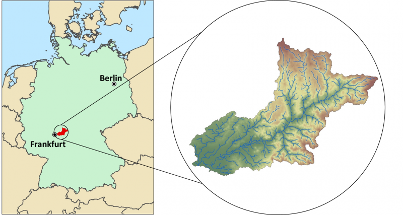
The Rhine-Main-Observatory (RMO) covers the drainage basin of the Kinzig River in Hesse, Germany (~1060km²). Situated at the fringe of the Rhine-Main area, the second largest metropolitan area in Germany, the Kinzig River divides three lower mountain ranges (Rhön, Vogelsberg, Spessart). Therefore, the Rhine-Main-Observatory includes both densely populated areas on the outskirts of the Rhine-Main metropolitan region as well as natural landscapes with little anthropogenic disturbance. This creates a highly diverse mosaic of land uses along a wide gradient of exploitation activities, from vibrant city centers to dense industrial areas; and from intensively and extensively used agricultural land, to heavily managed forests and natural reserves. The RMO was started officially in 2007, however many of the data series started much earlier. The scientific focus of the work in the RMO lies in understanding the role of land use and (micro-) climate in shaping meta-community structures in a fragmented river-floodplain ecosystem. The monitoring comprises a broad variety of permanent biotic and abiotic monitoring sites, as well as additional context-dependent monitoring schemes.
Last modified
2024-09-09 09:09:14

CC-BY-NC Logo

General Characteristics and Status
Site Status
Operational
Year Established
2007
Observed properties
eLTER Standard Observations
Affiliation and Network Specific Information
Affiliation
ILTERThis site is a verified "ILTER" member.
LTER EuropeThis site is a verified "LTER Europe" member.
LTER-D (Germany) (LTER_EU_DE_012)This site is a verified "LTER-D (Germany)" member.
Photos
Location of the RMO in Germany
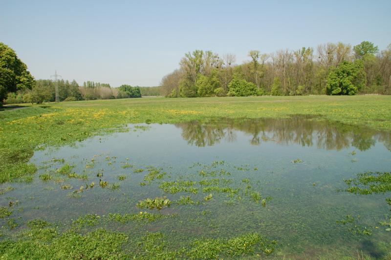
Open land site
Open land site
Forest site
Forest site
Exchange of temperature data logger
Taking samples at site
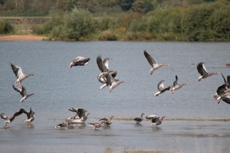
Geese at lake
Geese at lake
Plecoptera (stonefly)
Open land site
Open land site
Forest site
Forest site
Geographic
Centroid/Representative Coordinates

Latitude: 50.267302 Longitude: 9.269139

Size
ca. 10580.00ha
Elevation (average)
110.00msl
Elevation (min)
100.00msl
Elevation (max)
200.00msl
Download
Site information [.json]

Centroid/representative coordinates [.shp] [.kml]
Bounding Box [.shp] [.kml]
Boundaries [.shp] [.kml]