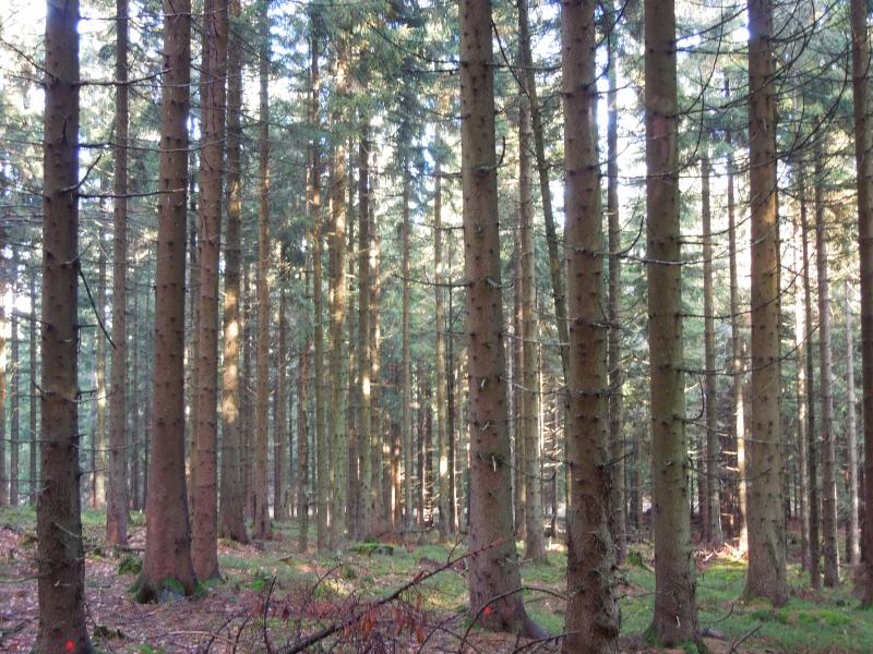
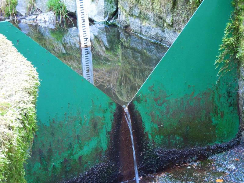
Lysina & Pluhuv Bor catchments - Czechia
DEIMS.ID
https://deims.org/a7cf7d23-ffa1-45f0-bb3b-82ee8fdf725a
ProTip! Use the DEIMS.ID to reference sites in papers, reports or anywhere else.
Basic Information
Site Name
Lysina & Pluhuv Bor catchments
Short name
LYS
Country
Czechia
Operating Organisation
Site Manager
Funding Agency
Site Description
Last modified
2025-01-07 11:14:56
![]()
General Characteristics and Status
Site Status
Operational
Year Established
1990
Affiliation and Network Specific Information
Affiliation
CZ-LTER✔ (LTER_EU_CZ_016)This site is a verified "CZ-LTER" member.
ILTER✔This site is a verified "ILTER" member.
LTER Europe✔This site is a verified "LTER Europe" member.
GERI✔This site is a verified "GERI" member.
Critical Zone Collaborative Network (CZ Net)✖The affiliation of this site with "Critical Zone Collaborative Network (CZ Net)" is not verified by the network on DEIMS-SDR.
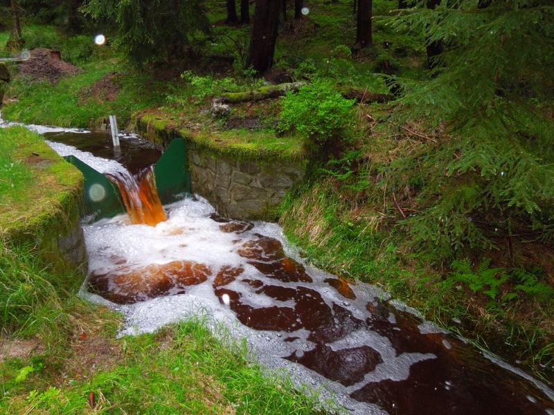
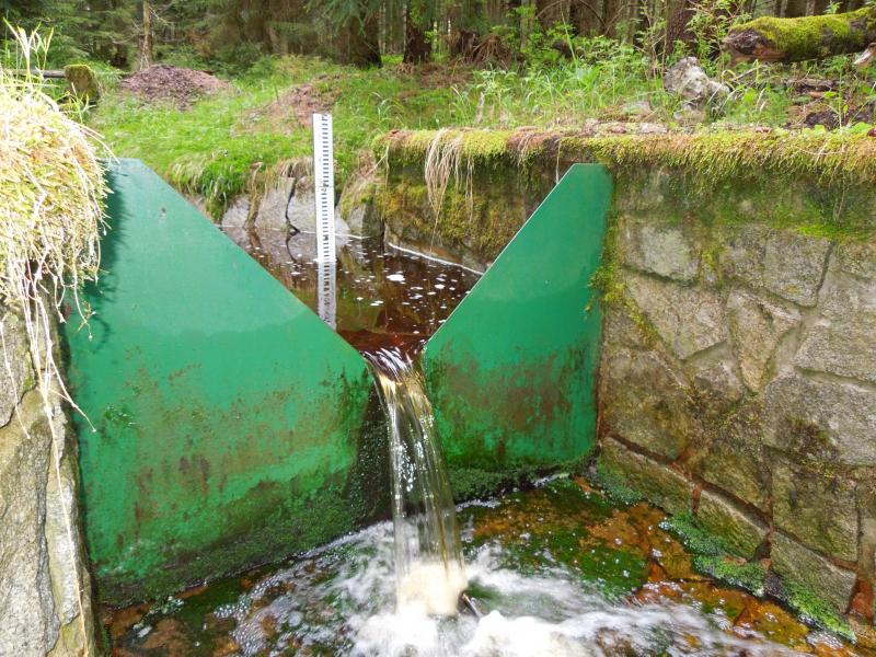
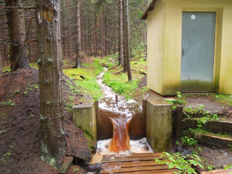
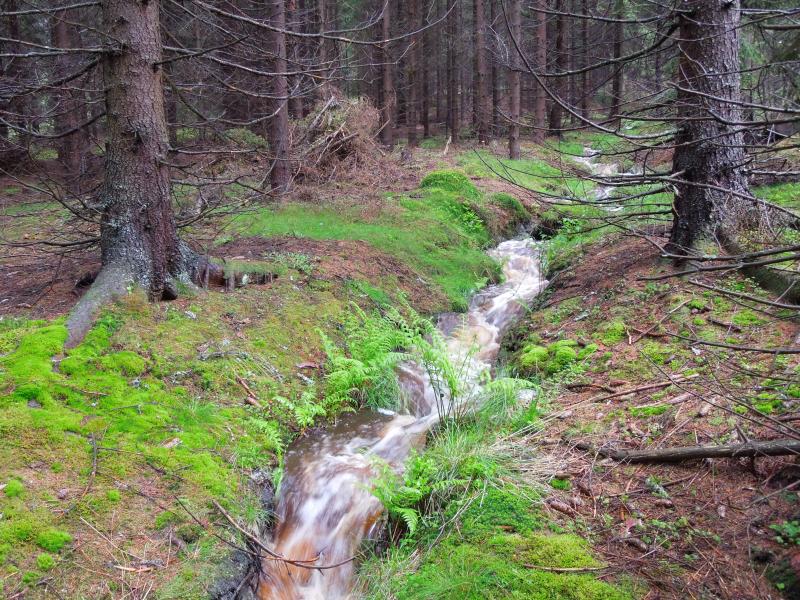
Photos
Geographic
Centroid/Representative Coordinates
Latitude: 50.0333 Longitude: 12.6514
Size
ca. 48.90ha
Elevation (average)
810.00msl
Elevation (min)
690.00msl
Elevation (max)
949.00msl
Download