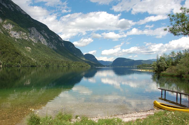
Lake Bohinj - Slovenia

Basic Information
Site Name
Lake Bohinj
Short name
Bohinj
Country
Slovenia
Site Description
Lake Bohinj is of tectonic-glacial origin and was transformed by the Bohinj glacier. Its surface area is 3.28 km 2 , its volumeWeather conditions and chlorophyll concentrations determine long-term macrophyte community dynamics of Lake...92.5 × 10 6 m 3 and its maximum depth 45 m. It is located at an altitude of 525 m a.s.l. and issurrounded by mountains that are up to 2000 m high. Lake Bohinj is conditioned by the main inflow from River Savica and by several karst springs from the base of Mount Komarča and has a single outflow, River Sava Bohinjka. The residence time of the water in Lake Bohinj is about 4 months, which means that the total volume of the water in Lake Bohinj changes three times a year. The surrounding watershed ...
Show more ...
Last modified
2025-01-07 11:01:56

CC-BY-NC Logo

General Characteristics and Status
Site Status
Operational
Year Established
1990
Observed properties
water parameterecosystem parameterdissolvedorganicnitrogendissolvedorganicphosphoruselectricalconductivitylakelevellaketemperaturenitrogencontentoxygenconcentrationoxygensaturationrainfallvariabilityrivertemperaturesnowcoverwaterlevelwatertemperaturewatertransparencyalgaespeciesabundancealgaespeciespresenceammoniumcontentammoniumnitrateconcentrationammoniumnitrogencontentbryophytescoverbryophytespresencebryophytesspeciescoverageplantspeciescompositionplantspeciespresenceplantspeciesrichness
Affiliation and Network Specific Information
Affiliation
ILTERThis site is a verified "ILTER" member.
LTER EuropeThis site is a verified "LTER Europe" member.
GERIThis site is a verified "GERI" member.
EUROPARCThe affiliation of this site with "EUROPARC" is not verified by the network on DEIMS-SDR.
EuroMABThe affiliation of this site with "EuroMAB" is not verified by the network on DEIMS-SDR.
LTER Slovenia (LTER_EU_SI_XX)This site is a verified "LTER Slovenia" member.
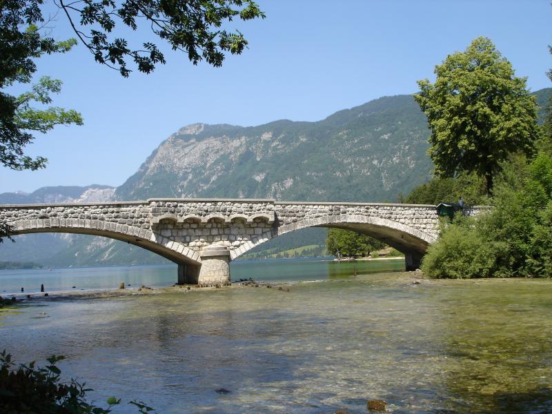
Photos
Ukanc bay, Dragan Abram
Geographic
500 m
2000 ft
Centroid/Representative Coordinates

Latitude: 46.28332 Longitude: 13.858135

Size
ca. 330.00ha
Elevation (average)
525.00msl
Elevation (min)
525.00msl
Elevation (max)
525.00msl
Download

Site information [.json]

Centroid/representative coordinates [.shp] [.kml]
Bounding Box [.shp] [.kml]
Boundaries [.shp] [.kml]