OZCAR-RI Regional Spatial Observatory in the South West France - France
Basic Information
Site Name
OZCAR-RI Regional Spatial Observatory in the South West France
Short name
OSR-SW
Country
France
Web Address
Site Manager
Site Description
Last modified
2025-01-07 11:01:56
General Characteristics and Status
Site Status
Operational
Year Established
2002
Observed properties
Affiliation and Network Specific Information
Affiliation
ILTER✔This site is a verified "ILTER" member.
OZCAR RI✔This site is a verified "OZCAR RI" member.
LTER Europe✔This site is a verified "LTER Europe" member.
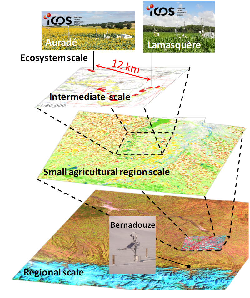
ICOS✖ (http://meta.icos-cp.eu/resources/stations/ES_FR-Aur)The affiliation of this site with "ICOS" is not verified by the network on DEIMS-SDR.
GERI✔This site is a verified "GERI" member.
LTER France✔ (CZO_EU_FR_250)This site is a verified "LTER France" member.
Photos
Geographic
Centroid/Representative Coordinates
Latitude: 43.446285 Longitude: 1.147014
Size
ca. 250000.00ha
Elevation (average)
500.00msl
Elevation (min)
76.00msl
Elevation (max)
3298.00msl
Download


