LTSER Zone Atelier Pyrénées-Garonne - France

Basic Information
Platform Icon

Site Name
LTSER Zone Atelier Pyrénées-Garonne
Short name
ZA PYGAR
Country
France
Site Manager
Site Description
The ZA PYGAR covers the whole Garonne river basin up to the upper part of the Gironde estuary (La Reole station). Within this territory, research is structured around 4 main sites: the Pyrénées mountains, covering the upstream part of the Garonne river basin (PYRénées site), the farmland of the foothills of the Pyrénées (Vallées et Coteaux de Gascogne site), the Garonne river (Axe Fluvial Garonne site) and the basin of two tributaries of the Garonne river in the Massif Central moutains (Aveyron-Viaur site).
Last modified
2024-09-04 15:09:04

CC-BY-NC Logo

General Characteristics and Status
Site Status
Operational
Year Established
1980
Observed properties
Affiliation and Network Specific Information
Affiliation
ILTERThis site is a verified "ILTER" member.
LTER EuropeThis site is a verified "LTER Europe" member.
LTER France (LTER_EU_FR_014)This site is a verified "LTER France" member.
Photos
Meteorological station (fluxes tower) (Photo: CESBIO)
Gravel querry (photo: J. Cucherousset)
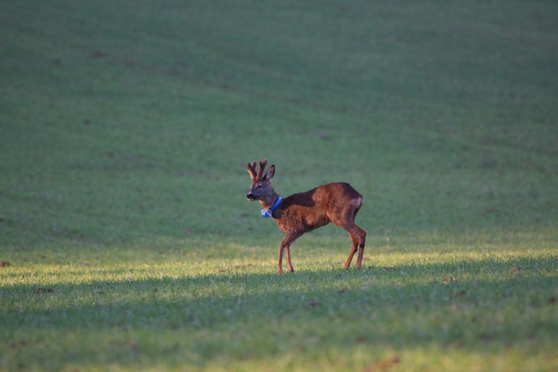
Roe deer with GPS collar (photo: CEFS)
Agricultural landscape in the Vallees and Coteaux de Gascogne site
Geographic
Centroid/Representative Coordinates

Latitude: 43.2667 Longitude: 0.85

Size
ca. 3000000.00ha
Elevation (average)
300.00msl
Elevation (min)
45.00msl
Elevation (max)
3404.00msl
Download

Site information [.json]

Centroid/representative coordinates [.shp] [.kml]
Bounding Box [.shp] [.kml]
Boundaries [.shp] [.kml]