Puergschachen Moor - Austria
DEIMS.ID
https://deims.org/c0d491a2-3e5b-467a-9678-e0cac95a1df6
ProTip! Use the DEIMS.ID to reference sites in papers, reports or anywhere else.
Basic Information
Site Name
Puergschachen Moor
Short name
PM
Country
Austria
Operating Organisation
Site Manager
Site Description
Last modified
2025-10-22 15:00:47
![]()
General Characteristics and Status
Site Status
Operational
Year Established
2015
Observed properties
Affiliation and Network Specific Information
Affiliation
ILTER✔This site is a verified "ILTER" member.
LTER Europe✔This site is a verified "LTER Europe" member.
FluxNet✖ (AT-PsM)The affiliation of this site with "FluxNet" is not verified by the network on DEIMS-SDR.
LTER Austria✔ (LTER_EU_AT_041)This site is a verified "LTER Austria" member.
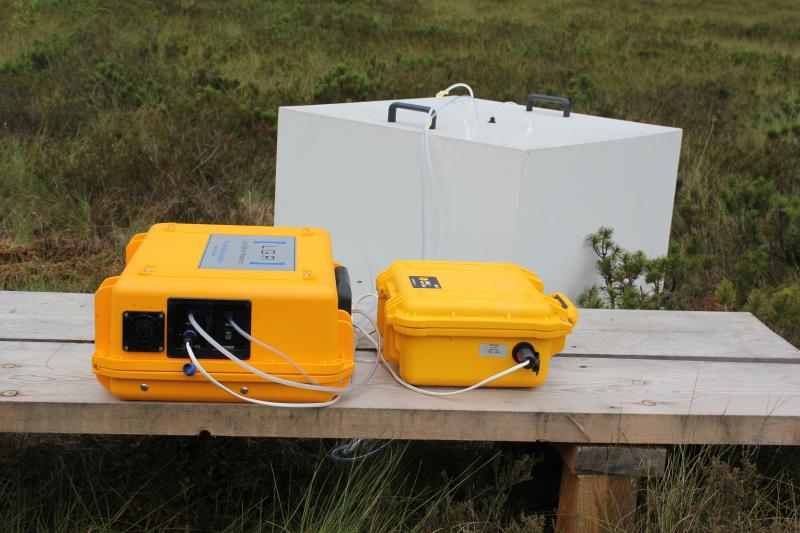
Photos
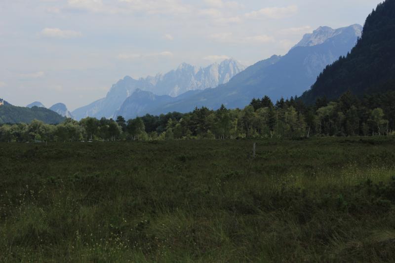


Geographic
Centroid/Representative Coordinates
Latitude: 47.5806 Longitude: 14.3444
Size
ca. 62.00ha
Elevation (average)
632.00msl
Elevation (min)
624.00msl
Elevation (max)
634.00msl
Download