Whim Bog - United Kingdom

Basic Information
Site Name
Whim Bog
Short name
Whim
Country
United Kingdom
Site Manager
Site Description
Whim bog offers a globally unique comparison of how the main N forms affect semi-natural vegetation, with meteorological data and treatment history since 2002. A quantified ammonia concentration / deposition gradient, is provided, plus a wet deposition system, comparing oxidized (NaNO3) and reduced N (NH4Cl), where treatments are meteorology dependent. ie. wind direction and rainfall frequency define the treatment exposure(~120 events y-1). Wet plots are large (13m²) and there are 4 replicates per treatment. Opportunities exist to evaluate a whole range of ecosystem services from conservation to carbon sequestration, GHG emissions and water chemistry in addition to understanding how changes in vegetation affect the delivery of these services.
Last modified
2023-06-20 08:06:28

CC-BY-NC Logo

General Characteristics and Status
Site Status
Operational
Year Established
2002
Affiliation and Network Specific Information
Affiliation
ILTERThis site is a verified "ILTER" member.
LTER EuropeThis site is a verified "LTER Europe" member.
UK ECNThis site is a verified "UK ECN" member.
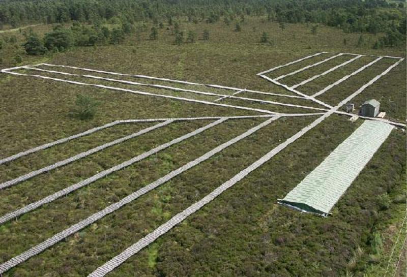
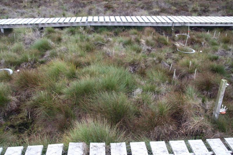
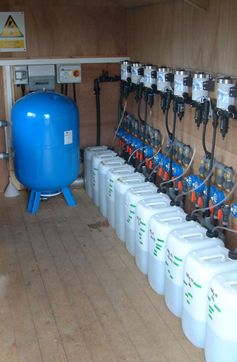
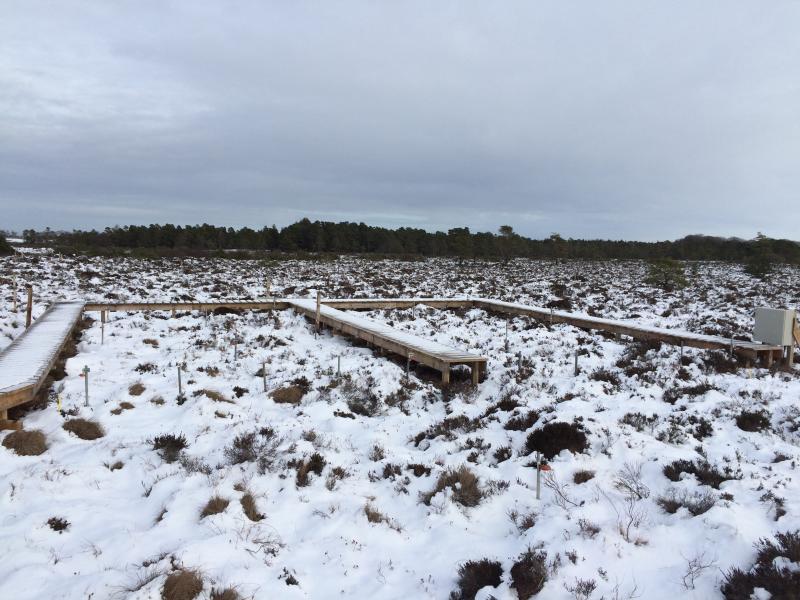
Photos
Overview of the site
Due to the effect of N-dry deposition the Eriophorum and grasses the dominating vegetation
Sphagnum with different stages of N-damage
Sprayers at the wet deposition plots
Inside the shed
Inside the shed
Part of the ozone transect
Ozone transect during the winter
To avoid damage to the site we us a spandeck to reach the vegetation in the plots
Metmast
Metmast
Geographic
Centroid/Representative Coordinates

Latitude: 55.7667 Longitude: -3.26667

Size
~2.00ha
Elevation (average)
282.00msl
Elevation (min)
282.00msl
Elevation (max)
282.00msl
Download

Site information [.json]

Centroid/representative coordinates [.shp] [.kml]
Bounding Box [.shp] [.kml]
Boundaries [.shp] [.kml]