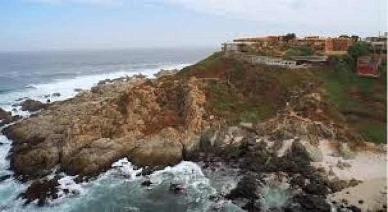
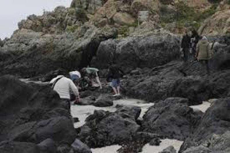
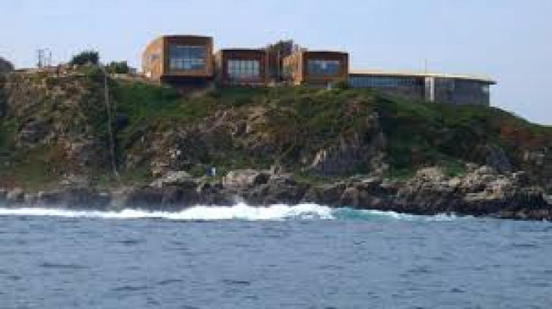
Estación Costera de Investigaciones Marinas, Las Cruces - Chile
DEIMS.ID
https://deims.org/c9fc7c77-5281-4883-8905-c2236394a70b
ProTip! Use the DEIMS.ID to reference sites in papers, reports or anywhere else.
Basic Information
Site Name
Estación Costera de Investigaciones Marinas, Las Cruces
Short name
ECIM
Country
Chile
Web Address
Operating Organisation
Site Manager
Funding Agency
Site Description
Last modified
2021-03-11 10:05:19
![]()
General Characteristics and Status
Site Status
Operational
Year Established
1982
Affiliation and Network Specific Information
Affiliation
ILTER✔This site is a verified "ILTER" member.
LTSER Chile✔ (LTER_SAM_CL_8)This site is a verified "LTSER Chile" member.
Photos

Geographic
Centroid/Representative Coordinates
Latitude: -33.5 Longitude: -71.633333
Size
ca. 3.00ha
Elevation (average)
30.00msl
Elevation (min)
-30.00msl
Elevation (max)
45.00msl
Download