Rothamsted - United Kingdom
DEIMS.ID
https://deims.org/cb340d4c-e6e5-465a-b0cb-d6c613fa5541
ProTip! Use the DEIMS.ID to reference sites in papers, reports or anywhere else.
Basic Information
Site Name
Rothamsted
Short name
T06
Country
United Kingdom
Web Address
Operating Organisation
Site Manager
Site Description
Last modified
2026-02-04 17:01:40
![]()
General Characteristics and Status
Site Status
Operational
Year Established
1843
Observed properties
Affiliation and Network Specific Information
Affiliation
ILTER✔This site is a verified "ILTER" member.
LTER Europe✔This site is a verified "LTER Europe" member.
UK Eutrophying and Acidifying atmospheric Pollutants network (UKEAP)✖The affiliation of this site with "UK Eutrophying and Acidifying atmospheric Pollutants network (UKEAP)" is not verified by the network on DEIMS-SDR.
UK ECN✔ (LTER_EU_UK_052)This site is a verified "UK ECN" member.
COSMOS-UK✖The affiliation of this site with "COSMOS-UK" is not verified by the network on DEIMS-SDR.
Projects
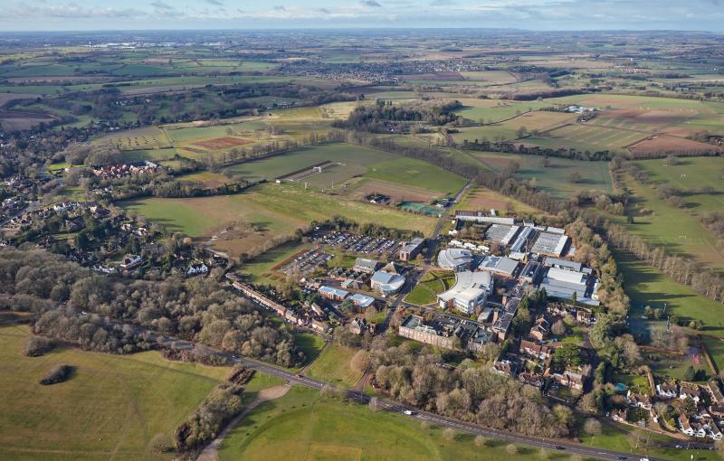
Photos


Geographic
Centroid/Representative Coordinates
Latitude: 51.804 Longitude: -0.372
Size
ca. 330.00ha
Elevation (average)
83.00msl
Elevation (min)
94.00msl
Elevation (max)
134.00msl
Download