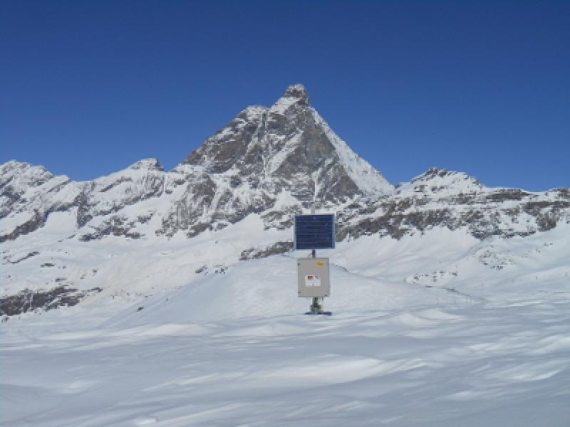
IT19 - HIGH ELEVATION SITES IN THE NORTHWESTERN ALPS - Italy

Basic Information
Site Name
IT19 - HIGH ELEVATION SITES IN THE NORTHWESTERN ALPS
Short name
IT19-000-T
Country
Italy
Site Manager
Site Description
This site is representative of high altitude environments of the North-Western Alps. Six study areas, located along an altitudinal gradient ranging from 2100 to 3100 m a.s.l. were chosen. In such areas, soils are snow covered for between five and eight months per year. Vegetation cover ranges from larch and spruce stands, to alpine grasslands, overlying soils at different evolution degrees. One of such areas belongs to the GLORIA (GLobal Observation Research Initiative in Alpine Environments) Network, coordinated by the University of Vienna (prof. G. Grabherr) and is also a site monitored by the Regional Agency for Environmental Protection of the Aosta Valley Region (ARPA Valle d’Aosta) with the contribution of Mont Avic Natural Park. An area is a permanent site for monitoring of permafrost and active layer, located at 3100 m a.s.l. and coordinated by ARPA Valle d’Aosta. A fourth area is a subalpine site under larch stands interspersed with recently abandoned pastures. In such area phenological studies and C fluxes are intensively monitored following the protocols of the CARBOITALY Network.
Last modified
2023-07-24 03:07:52

CC-BY-NC Logo

General Characteristics and Status
Site Status
Operational
Year Established
2009
Affiliation and Network Specific Information
Affiliation
ILTERThis site is a verified "ILTER" member.
LTER EuropeThis site is a verified "LTER Europe" member.
LTER Italia (Italy) (LTER_EU_IT_019)This site is a verified "LTER Italia (Italy)" member.
Projects
Photos
not defined
not defined
Geographic
Centroid/Representative Coordinates

Latitude: 45.7825 Longitude: 7.69194

Elevation (average)
2500.00msl
Elevation (min)
2050.00msl
Elevation (max)
3100.00msl
Download

Site information [.json]

Centroid/representative coordinates [.shp] [.kml]