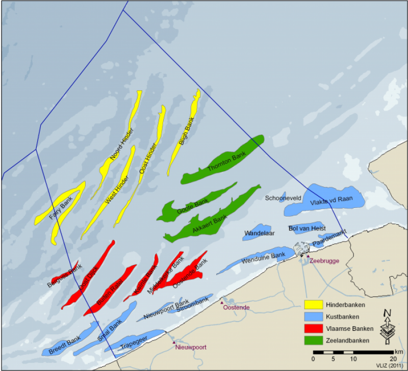
Belgian coastal waters and sand bank systems - Belgium
Basic Information
Site Name
Belgian coastal waters and sand bank systems
Short name
Belgian coastal waters
Country
Belgium
Web Address
Operating Organisation
Site Manager
Site Description
Last modified
2025-01-07 11:01:07
General Characteristics and Status
Site Status
Operational
Year Established
2002
Observed properties
Affiliation and Network Specific Information
Affiliation
ILTER✔This site is a verified "ILTER" member.
LTER Europe✔This site is a verified "LTER Europe" member.
LTER Belgium✔ (LTER_EU_BE_10_004)This site is a verified "LTER Belgium" member.
ICOS✖ (http://meta.icos-cp.eu/resources/stations/OS_11SS)The affiliation of this site with "ICOS" is not verified by the network on DEIMS-SDR.
GERI✔This site is a verified "GERI" member.
Projects
Photos
Geographic
Centroid/Representative Coordinates
Latitude: 51.464833 Longitude: 2.704444
Size
ca. 345400.00ha
Elevation (average)
0.00msl
Elevation (min)
-36.00msl
Elevation (max)
0.00msl
Download

