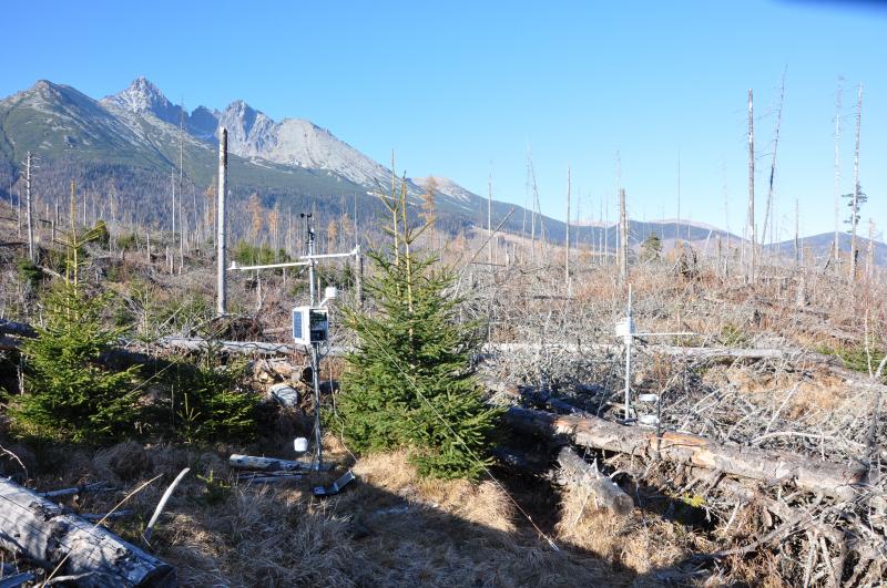
Tatra National Park - Slovakia

Basic Information
Site Name
Tatra National Park
Short name
Tatra Mts
Country
Slovakia
Operating Organisation
Site Description
The spruce forest ecosystem has been intensively studied since 1990s (resistance to pollution, insect infestation, weather extremes). After large-scale destruction by wind (12,000 ha) in 2004, consequent bark beetle outbreak (7,000 ha) and fire, the research was focused to four research plots (min. 100 ha each). Three of them were damaged by wind disturbance: plot NEX without forestry management (no timber extraction, no afforestation); plot EXT from which timber was extracted and the plot was afforested; plot FIR damaged by fire one year after the wind disturbance. The last plot (REF) is not affected by wind disturbance (reference plot). The monitoring equipment (meteorological stations, dendrometres, transpiration flow sensors, ...
Show more ...
Last modified
2025-01-07 11:01:56

CC-BY-NC Logo

General Characteristics and Status
Site Status
Operational
Year Established
2005
Observed properties
ecosystem parameterbiological parameteratmospheric parameterchemical parameterenvironmental parameterabovegroundnetprimaryproductioncanopygapareacommunitycompositiondisturbancepatterndiversityindexecosystemstructurefaunisticdiversityfireseverityindexfloristicdiversityforeststructureplantspeciescompositionspeciesabundancespeciescompositionspeciesrichnesscanopycoverrateleafarealeafarearationitrogencontentplantcoverplanttranspirationplantcarbonconcentrationprecipitationintensitywinddirectionwindspeedpercentcarbonpercentorganiccarbonabioticheterogeneity
Affiliation and Network Specific Information
Affiliation
ILTERThis site is a verified "ILTER" member.
LTER Slovakia (LTER_EU_SK_006)This site is a verified "LTER Slovakia" member.
LTER EuropeThis site is a verified "LTER Europe" member.
European Monitoring and Evaluation Programme (EMEP)The affiliation of this site with "European Monitoring and Evaluation Programme (EMEP)" is not verified by the network on DEIMS-SDR.
GERIThis site is a verified "GERI" member.
Photos
not defined
not defined
Geographic
Marker
300 km
100 mi
Centroid/Representative Coordinates

Latitude: 49.1442 Longitude: 20.1692

Size
ca. 400.00ha
Elevation (average)
1100.00msl
Elevation (min)
900.00msl
Elevation (max)
1750.00msl
Download

Site information [.json]

Centroid/representative coordinates [.shp] [.kml]