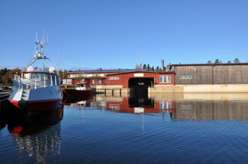
Ore estuary (Orefjarden), Umea Marine Sciences Centre (LTER) - Sweden
DEIMS.ID
https://deims.org/fa9e4d17-3c60-4295-a9e3-64d4b7c1ab09
ProTip! Use the DEIMS.ID to reference sites in papers, reports or anywhere else.
Basic Information
Site Name
Ore estuary (Orefjarden), Umea Marine Sciences Centre (LTER)
Short name
Öre estuary
Country
Sweden
Web Address
Operating Organisation
Site Manager
Site Description
Last modified
2025-01-07 11:14:56
![]()
General Characteristics and Status
Site Status
Operational
Year Established
1985
Observed properties
Affiliation and Network Specific Information
Affiliation
ILTER✔This site is a verified "ILTER" member.
LTER Europe✔This site is a verified "LTER Europe" member.
LTER Sweden✔ (LTER_EU_SE_009)This site is a verified "LTER Sweden" member.
GERI✔This site is a verified "GERI" member.
Projects
Photos
Geographic
Centroid/Representative Coordinates
Latitude: 63.5643 Longitude: 19.8364
Size
ca. 7117.20ha
Elevation (average)
0.00msl
Elevation (min)
0.00msl
Elevation (max)
20.00msl
Download