Mountain catchment - Czechia

Basic Information
Site Name
Mountain catchment
Short name
Mountain catchment
Country
Czechia
Site Manager
Site Description
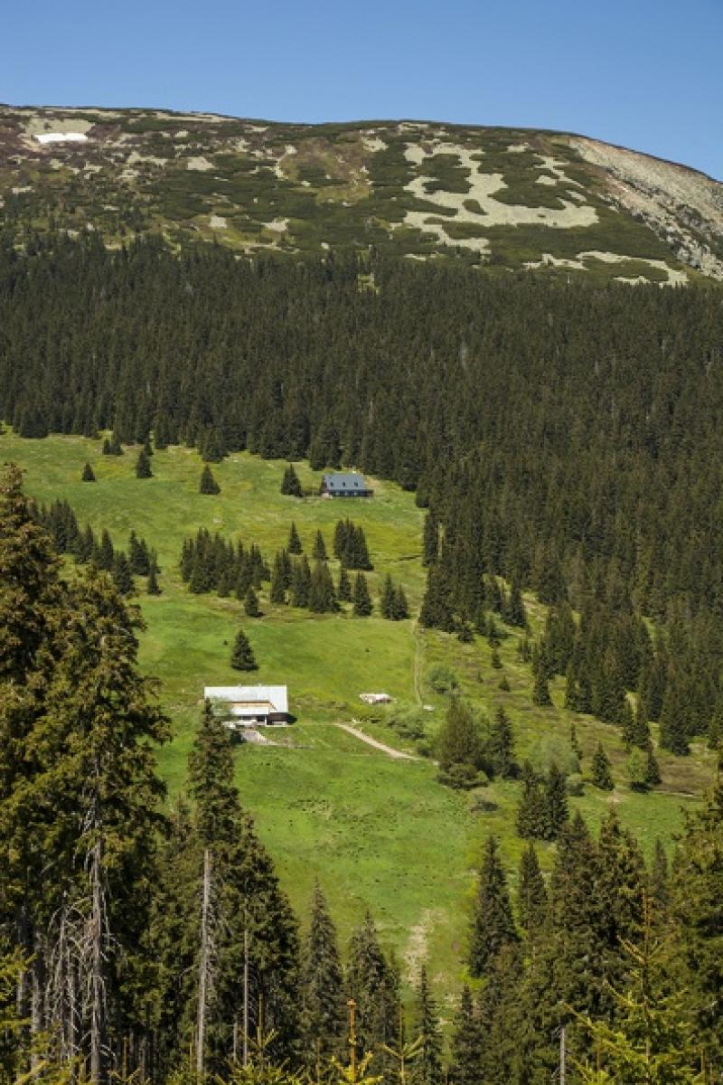
The catchment of the Modrý Potok stream belongs to the network of 14 small catchments (GEOMON), where effects of the changing environment (acidification, eutrophication, global change) on catchment biogeochemistry are studied. The catchment represents unique alpine ecosystem (alpine meadows with limited forest cover). Similarly to the rest of the Czech Republic, a marked decrease in acid deposition has been observed since the 1980s. The measured precipitation chemistry revealed the decrease in sulphur deposition by 80% and moderate decrease in nitrogen deposition (by 50%) since 1994. The decline in acid deposition was caused by reductions of SO2, NOx, and NH3 emissions from heavy industry and thermal power plants ...
Show more ...
Last modified
2021-11-23 11:11:15

CC-BY-NC Logo

General Characteristics and Status
Site Status
Operational
Year Established
1994
Affiliation and Network Specific Information
Affiliation
CZ-LTER (LTER_EU_CZ_011)This site is a verified "CZ-LTER" member.
ILTERThis site is a verified "ILTER" member.
LTER EuropeThis site is a verified "LTER Europe" member.
EuroMABThe affiliation of this site with "EuroMAB" is not verified by the network on DEIMS-SDR.
Projects
Photos
not defined
not defined
Geographic
500 m
1000 ft
Centroid/Representative Coordinates

Latitude: 50.7148 Longitude: 15.7041

Size
ca. 220.00ha
Elevation (average)
1140.00msl
Elevation (min)
886.00msl
Elevation (max)
1380.00msl
Download
Site information [.json]

Centroid/representative coordinates [.shp] [.kml]
Bounding Box [.shp] [.kml]
Boundaries [.shp] [.kml]