Porton Down - United Kingdom
DEIMS.ID
https://deims.org/0f05a86f-0f7a-4b81-8268-6818a6064428
ProTip! Use the DEIMS.ID to reference sites in papers, reports or anywhere else.
Basic Information
Site Name
Porton Down
Short name
T10
Country
United Kingdom
Web Address
Operating Organisation
Site Manager
Site Description
Last modified
2025-08-08 16:04:50
![]()
General Characteristics and Status
Site Status
Operational
Year Established
1992
Observed properties
Affiliation and Network Specific Information
Affiliation
ILTER✔This site is a verified "ILTER" member.
LTER Europe✔This site is a verified "LTER Europe" member.
UK ECN✔ (LTER_EU_UK_056)This site is a verified "UK ECN" member.
COSMOS-UK✖The affiliation of this site with "COSMOS-UK" is not verified by the network on DEIMS-SDR.
Projects
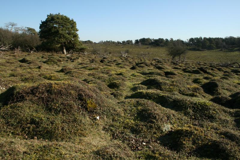
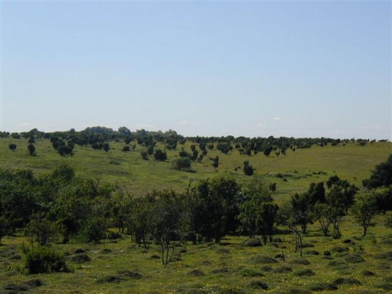
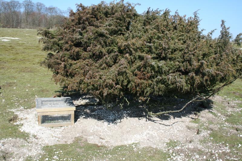
Photos

Geographic
Centroid/Representative Coordinates
Latitude: 51.130695 Longitude: -1.658088
Size
ca. 1227.00ha
Elevation (average)
143.00msl
Elevation (min)
100.00msl
Elevation (max)
172.00msl
Download