Sonian Forest - Belgium

Basic Information
Platform Icon

Site Name
Sonian Forest
Short name
Sonian
Country
Belgium
Operating Organisation
Site Description
Large forest area, ancient woodland of beech forests, just south of Brussels. In this forest, numerous research activities covering silviculture, forest history, biodiversity inventories, geomorphology, recreation etc... have taken place. Therefore, the complete forest is proposed as an LTSER-platform. Within the forest, two active long-term ecological monitoring programmes are present: - one ICP Forests Level II intensive forest monitoring plot (permanent sampling since 1987) - strict forest reserve monitoring programme on an area of 100 ha (periodic sampling of 15 ha since 1986, extended to 100 ha in 2000) On July 7th 2017, the strict forest reserve 'Joseph Zwaenepoel', together with 4 other unmanaged reserves in the forest, was added to the UNESCO Natural Heritage Site ' Primeval Beech Forests of the Carpathians and Other Regions of Europe' (http://whc.unesco.org/en/list/1133). Besides these, a large number of former research projects, PhD research and a detailed management follow-up make the Sonian Forest one of the best mapped and documented forests in Belgium / Europe.
Last modified
2025-01-07 11:01:56

CC-BY-NC Logo

General Characteristics and Status
Site Status
Operational
Year Established
1986
Observed properties
Affiliation and Network Specific Information
Affiliation
ILTERThis site is a verified "ILTER" member.
LTER EuropeThis site is a verified "LTER Europe" member.
ICP Forests (2_21)This site is a verified "ICP Forests" member.
LTER Belgium (LTER_EU_BE_02)This site is a verified "LTER Belgium" member.
GERIThis site is a verified "GERI" member.
Photos
Natural regeneration of maple under old beech trees at level II plot in Sonian forest
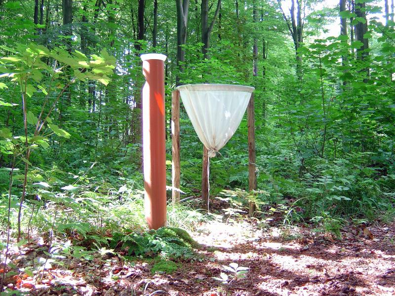
litterfall trap and througfall precipitation sampling at the Level-II site
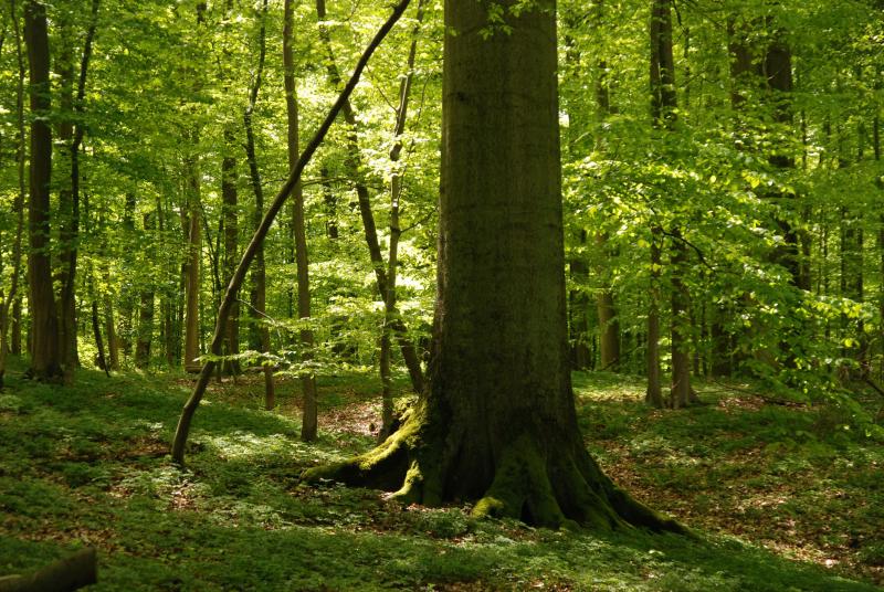
old monumental beech trees (DBH>130 cm) in the strict forest reserve
soil profile at the Level II-plot
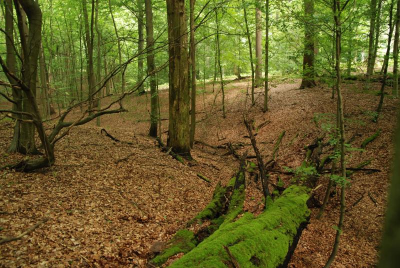
strict forest reserve (Unesco WH)
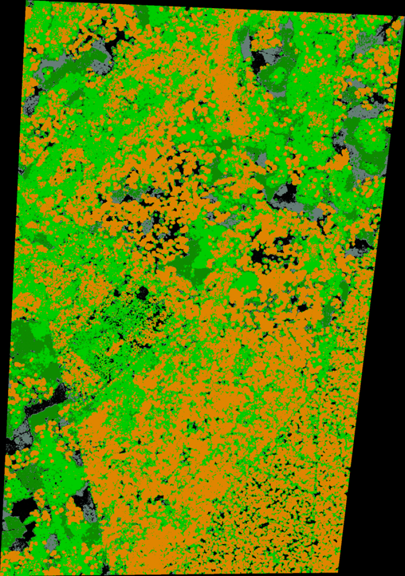
canopy height and gap fraction based on airborne LIDAR
Geographic
Centroid/Representative Coordinates

Latitude: 50.746 Longitude: 4.4133

Size
ca. 4400.00ha
Elevation (average)
120.00msl
Elevation (min)
80.00msl
Elevation (max)
150.00msl
Download

Site information [.json]

Centroid/representative coordinates [.shp] [.kml]
Bounding Box [.shp] [.kml]
Boundaries [.shp] [.kml]