Parque Natural del Montseny - Spain

Basic Information
Site Name
Parque Natural del Montseny
Short name
Montseny
Country
Spain
Site Description
The Montseny massif is situated 40 km NNE from Barcelona. The mountains cover about an area of 400 km2, about 80% of which is protected as Natural Park. Its highest altitude is 1707m asl. Climatically and biogeographycally Montseny lies in the northern boundary of the Mediterranean region. It is mostly forested, except at the upper reaches. Vegetation shifts altitudinally, with forests of pine, evergreen holm oak and beech, and heathlands and grasslands dominating in this order as altitude increases. The relief is steep and the lithology consists mostly of metamorphic phyllites, schists and granodiorites.
Last modified
2023-09-01 03:09:03

CC-BY-NC Logo

General Characteristics and Status
Site Status
Operational
Year Established
1983
Observed properties
Affiliation and Network Specific Information
Affiliation
ILTERThis site is a verified "ILTER" member.
LTER Spain (LTER_EU_ES_025)This site is a verified "LTER Spain" member.
LTER EuropeThis site is a verified "LTER Europe" member.
Photos
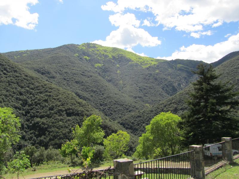
View of Torrent de la Mina catchment from El Vilar de La Castanya. Author: Anna Avila
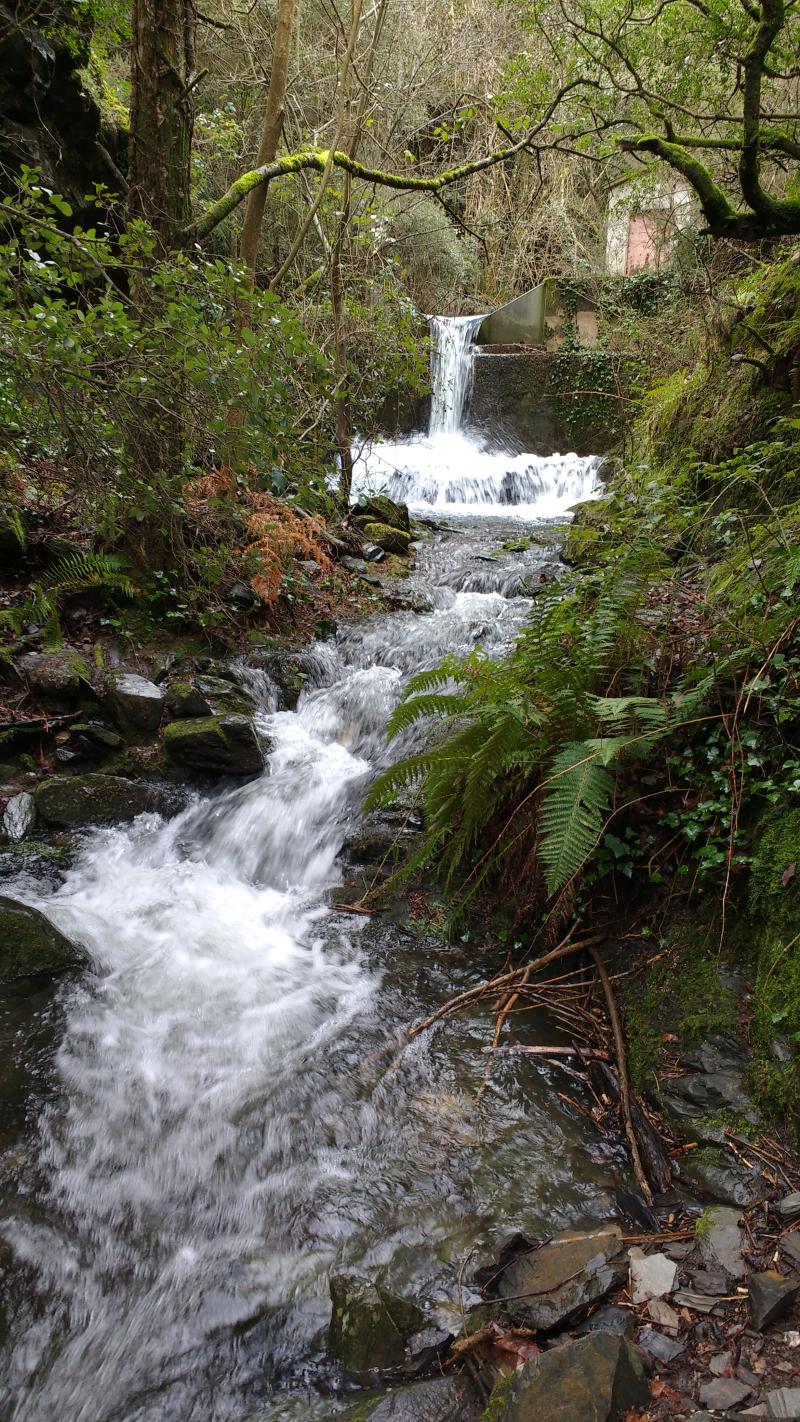
V-notch of the  Torrent de la Mina gauging station. Author: Anna Avila
V-notch of the Torrent de la Mina gauging station. Author: Anna Avila
Throughfall collectors in a holm oak (Quercus ilex L) plot at La Castanya valley. Author: Anna Avila
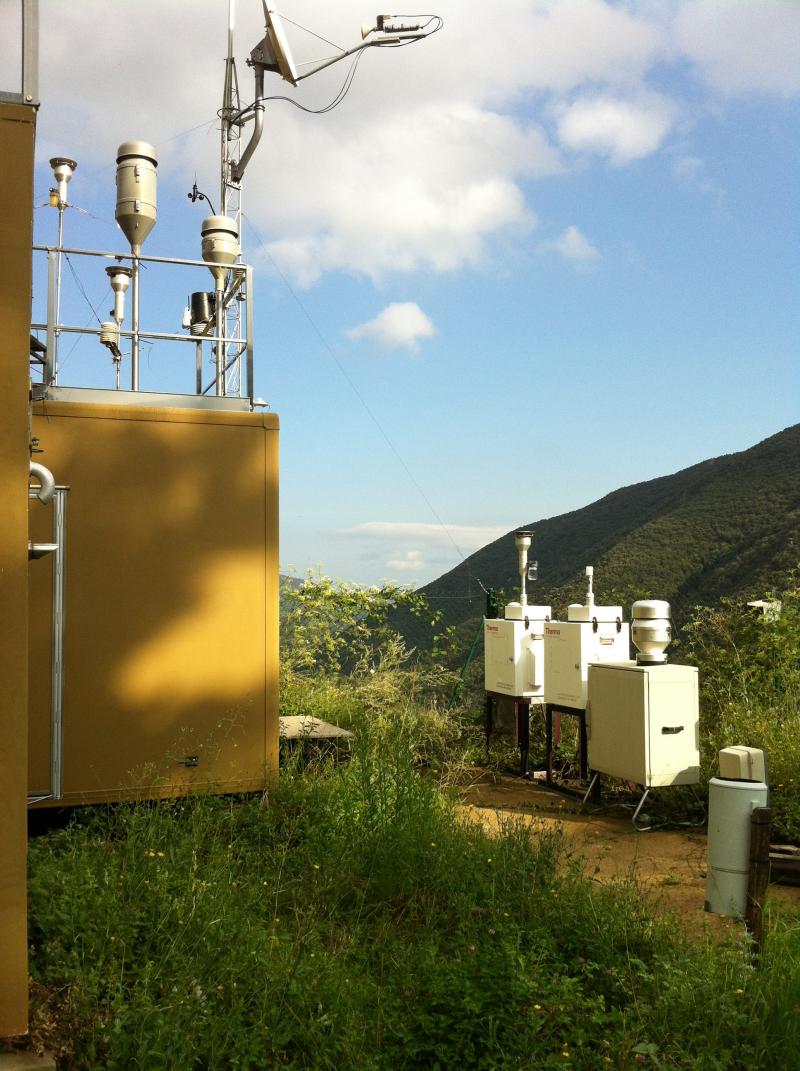
Atmospheric deposition instruments at the Montseny site. Author: Anna Avila
The yearly monitoring of birds provide synthetic indicators on impact of environmental changes
Monitoring populations allows to determine the spatio-temporal patterns of change for key a number of biodiversity components
Geographic
Centroid/Representative Coordinates

Latitude: 41.763979 Longitude: 2.407173

Size
ca. 31064.00ha
Elevation (average)
800.00msl
Elevation (min)
550.00msl
Elevation (max)
1707.00msl
Download
Site information [.json]

Centroid/representative coordinates [.shp] [.kml]
Bounding Box [.shp] [.kml]
Boundaries [.shp] [.kml]