AgroScapeLab Quillow (ZALF) - Germany
DEIMS.ID
https://deims.org/270a41c4-33a8-4da6-9258-2ab10916f262
ProTip! Use the DEIMS.ID to reference sites in papers, reports or anywhere else.
Basic Information
Site Name
AgroScapeLab Quillow (ZALF)
Short name
DE-07-UM
Country
Germany
Web Address
Operating Organisation
Site Manager
Site Description
Last modified
2025-12-11 10:24:16
![]()
General Characteristics and Status
Site Status
Operational
Year Established
1990
Observed properties
Affiliation and Network Specific Information
Affiliation
ILTER✔This site is a verified "ILTER" member.
LTER Europe✔This site is a verified "LTER Europe" member.
GERI✔This site is a verified "GERI" member.
LTER-D (Germany)✔ (LTER_EU_DE_005)This site is a verified "LTER-D (Germany)" member.
Projects
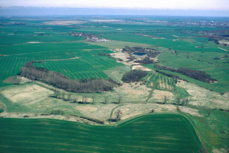
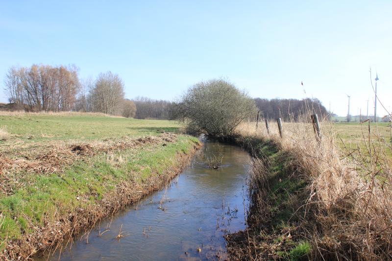
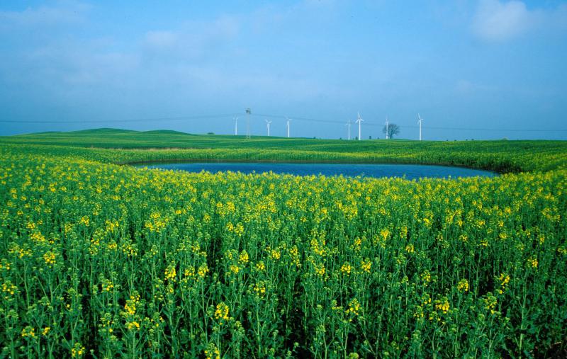
Photos


Geographic
Centroid/Representative Coordinates
Latitude: 53.36 Longitude: 13.8
Size
ca. 29030.93ha
Elevation (average)
50.00msl
Elevation (min)
10.00msl
Elevation (max)
100.00msl
Download