Pfynwald - Switzerland
DEIMS.ID
https://deims.org/278e7e05-b17e-4f68-af8d-fae07270c91a
ProTip! Use the DEIMS.ID to reference sites in papers, reports or anywhere else.
Basic Information
Site Name
Pfynwald
Short name
PFYN
Country
Switzerland
Web Address
Operating Organisation
Site Manager
Funding Agency
Site Description
Last modified
2025-01-07 11:14:56
![]()
General Characteristics and Status
Site Status
Operational
Year Established
2003
Observed properties
Affiliation and Network Specific Information
Affiliation
ILTER✔This site is a verified "ILTER" member.
LTER Europe✔This site is a verified "LTER Europe" member.
GERI✔This site is a verified "GERI" member.
TreeNet✔This site is a verified "TreeNet" member.
LTER Switzerland✔ (LTER_EU_CH_020)This site is a verified "LTER Switzerland" member.
Photos
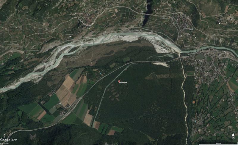
Geographic
Centroid/Representative Coordinates
Latitude: 46.3027884 Longitude: 7.6121082
Size
ca. 1.20ha
Elevation (average)
615.00msl
Elevation (min)
612.00msl
Elevation (max)
620.00msl
Download