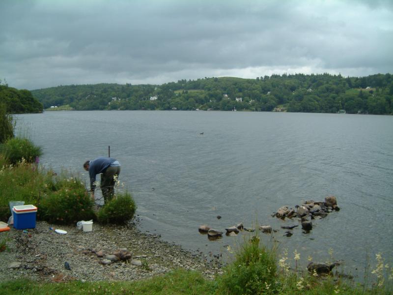
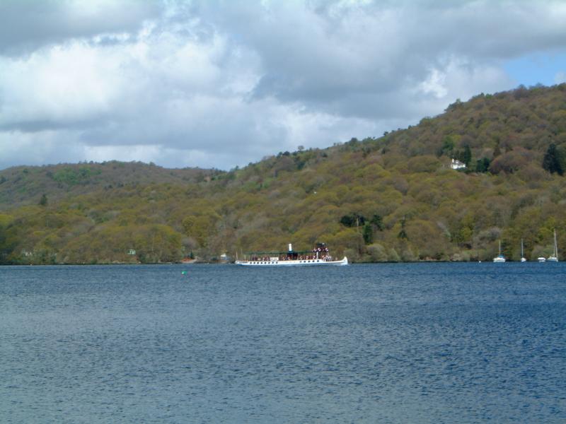
Windermere - United Kingdom

Basic Information
Site Name
Windermere
Short name
L04
Country
United Kingdom
Site Manager
Site Description
UK ECN site. Windermere is in NW England in the English Lake District, an area of great natural beauty and a tourist destination since the 18th century. The dominant geological structure of the Lake District is a dome of Paleozoic rocks formed by uplift in the Tertiary producing a radial drainage pattern later enhanced during the Pleistocene glaciation, with major lakes occupying bedrock basins in steep-sided, flat-floored valleys. Windermere is the largest natural lake in England with a surface area of 14.8km2 and altitude of only 40m. The lake is divided by a shallow sill into two basins; North Basin (NB) (surface area c. 8km2, maximum depth 64m) and South Basin (SB) (surface area c. 6.7km2, maximum depth 42m). Windermere (ECN ...
Show more ...
Last modified
2023-07-28 10:07:11

CC-BY-NC Logo

General Characteristics and Status
Site Status
Operational
Year Established
1994
Observed properties
water parameterecosystem parameterchemical parameterbiological parameterchlorophyllcontentofwaterdissolvedorganicphosphoruslaketemperatureoxygensaturationsecchidepthwateraciditywateralkalinitywaterdepthwaterqualitywatertemperaturewatertransparencyalgaespeciesabundancealgaespeciespresencebenthicinvertebratesabundancebenthicinvertebratespresenceinorganicnutrientcontentphytoplanktonabundancespeciesabundancespeciespresencezooplanktonabundanceammoniumcontentammoniumnitrogencontentdissolvednutrientdissolvedorganiccarboninwatersuspendedsolidstotalorganiccarbonnitrogencontent
Affiliation and Network Specific Information
Affiliation
ILTERThis site is a verified "ILTER" member.
LTER EuropeThis site is a verified "LTER Europe" member.
UK ECN (LTER_EU_UK_004)This site is a verified "UK ECN" member.
Photos
Sampling in Windermere
Geographic
5 km
5 mi
Centroid/Representative Coordinates

Latitude: 54.3833 Longitude: -2.95

Size
ca. 1480.00ha
Elevation (average)
395.00msl
Elevation (min)
40.00msl
Elevation (max)
750.00msl
Download

Site information [.json]

Centroid/representative coordinates [.shp] [.kml]
Bounding Box [.shp] [.kml]
Boundaries [.shp] [.kml]