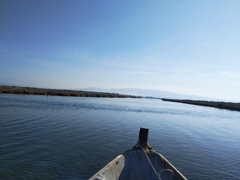
Laguna di S'Ena Arrubia - Italy

Basic Information
Site Name
Laguna di S'Ena Arrubia
Short name
IT14-005-M
Country
Italy
Operating Organisation
Site Manager
Funding Agency
Site Description
S’Ena Arrubia Lagoon is located along the central western coast of Sardinia (39.83° N, 8.57° E); it is 1.2 km2 in area and has a mean depth of 40 cm. Freshwater input is supplied from the watershed by two rivers: Rio Sant’Anna (also called Diversivo), which drains an area of 78.4 km2 and showed no runoff from April 2001 to March 2002; and the Canale delle Acque Basse (also called Idrovora), which drains 50 km2 mostly originating from the drying up of a pond over 3000 ha wide and dedicated mainly to farming and cattle-breeding. This channel is below sea level and water is pumped from it into the lagoon. A large part of the catchment area is used for intensive arable farming and cattle breeding, and as a result, the freshwater in ...
Show more ...
Last modified
2025-01-07 11:01:56

CC-BY-NC Logo

General Characteristics and Status
Site Status
Stand-by
Year Established
2006
Observed properties
water parameterchemical parameterchlorophyllcontentofwaterconductivitysecchidepthspecificconductivitywateraciditywateralkalinitywaterdepthwatertemperaturewatersalinity
Affiliation and Network Specific Information
Affiliation
ILTERThis site is a verified "ILTER" member.
LTER EuropeThis site is a verified "LTER Europe" member.
LTER Italia (Italy) (LTER_EU_IT_065)This site is a verified "LTER Italia (Italy)" member.
GERIThis site is a verified "GERI" member.
Photos
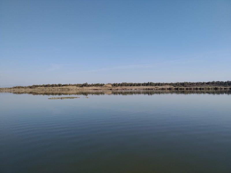
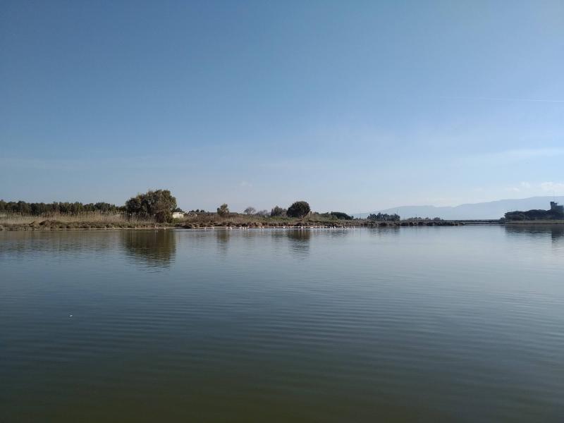
View of the lagoon
View of the lagoon
Geographic
500 m
2000 ft
Centroid/Representative Coordinates

Latitude: 39.82344 Longitude: 8.566718

Size
ca. 150.00ha
Elevation (average)
0.00msl
Elevation (min)
0.00msl
Elevation (max)
0.00msl
Download
Site information [.json]

Centroid/representative coordinates [.shp] [.kml]
Bounding Box [.shp] [.kml]
Boundaries [.shp] [.kml]