IT14-Marine ecosystems of Sardinia - Italy

Basic Information
Site Name
IT14-Marine ecosystems of Sardinia
Short name
IT14-000-M
Country
Italy
Operating Organisation
Site Manager
Funding Agency
Site Description
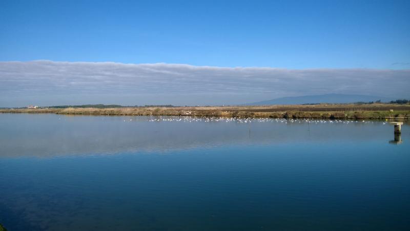
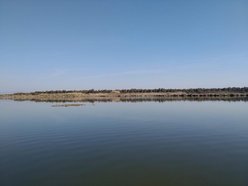
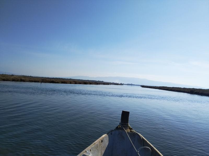
The site is divided into two different types of environments: 1. Coastal marine environments. Marine coastal areas of Sardinia, in particular, the Gulf of Asinara in the north and the Gulf of Olbia in the north-east, affected by different types and intensities of human impact and by the resulting presence of different environmental conditions from the point of view of water quality. 2. Lagoons and coastal ponds. Lagoons and coastal ponds located along the west-central coast of Sardinia, in the Gulf of Oristano. These sites are all important wetlands included in the Ramsar Convention, are IBA (Important Birds Area) and SIC and ZPS. The ownership of the sites is the Regional Government of Sardinia. Fisheries and aquaculture are ...
Show more ...
Last modified
2024-02-20 11:02:28

CC-BY-NC Logo

General Characteristics and Status
Site Status
Operational
Year Established
2006
Observed properties
water parameterecosystem parameterchemical parameterchlorophyllcontentofwaterconductivitynitrogencontentoxygenconcentrationoxygensaturationsecchidepthwateraciditywateralkalinitywaterdepthwaterqualitywatersalinitywatertemperaturewatertransparencybacillariophyceaeabundancebacillariophyceaebiomassbacillariophyceaebiovolumebacillariophyceaepresencebiovolumepopulationdensitypopulationsizespeciesabundancespeciescompositionspecieslistspeciespresencedissolvednutrientinorganicnitrogencontentpHvalueofwaterwateraciditywateralkalinitywatersalinity
Affiliation and Network Specific Information
Affiliation
ILTERThis site is a verified "ILTER" member.
LTER EuropeThis site is a verified "LTER Europe" member.
LTER Italia (Italy) (LTER_EU_IT_014)This site is a verified "LTER Italia (Italy)" member.
Photos
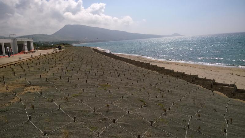
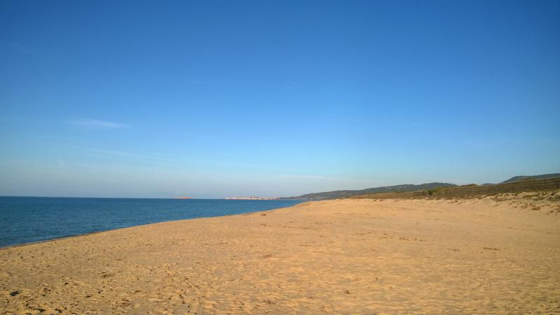
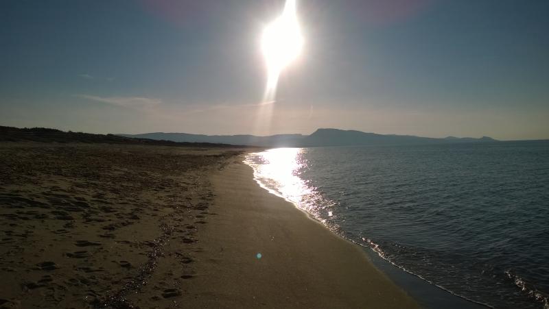
View of Platamona Beach in the Gulf of Asinara
Geographic
30 km
20 mi
Centroid/Representative Coordinates

Latitude: 40.879845 Longitude: 8.399391

Size
ca. 53980.00ha
Elevation (average)
0.00msl
Elevation (min)
0.00msl
Elevation (max)
0.00msl
Download
Site information [.json]

Centroid/representative coordinates [.shp] [.kml]
Bounding Box [.shp] [.kml]
Boundaries [.shp] [.kml]