REES - Rhine Eco-Evolutionary System - Germany
DEIMS.ID
https://deims.org/554de3a9-1ad9-46e9-9b70-f6e25a799876
ProTip! Use the DEIMS.ID to reference sites in papers, reports or anywhere else.
Basic Information
Site Name
REES - Rhine Eco-Evolutionary System
Short name
REES
Country
Germany
Web Address
Operating Organisation
Site Manager
Site Description
Last modified
2026-03-16 09:44:23
![]()
General Characteristics and Status
Site Status
Closed
Year Established
1990
Year Closed
2026
Observed properties
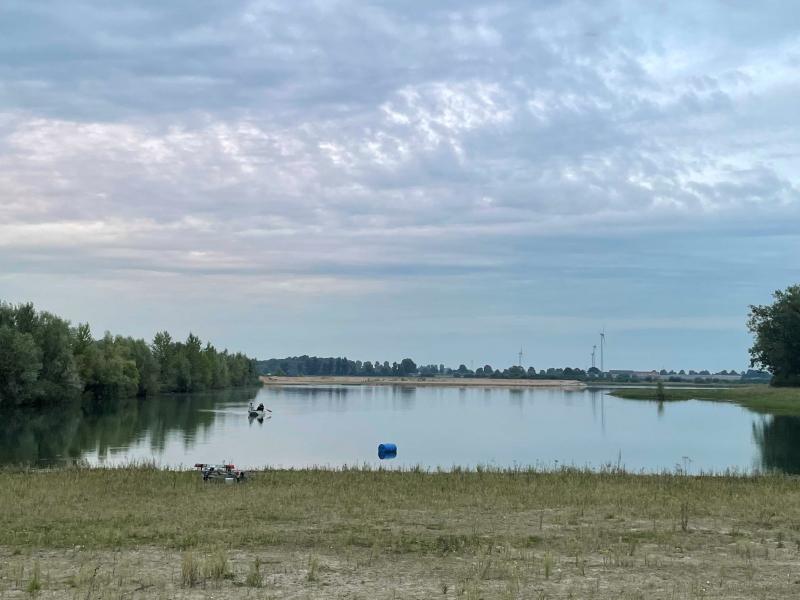
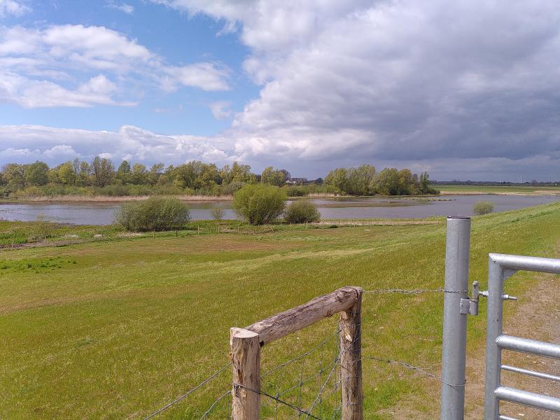
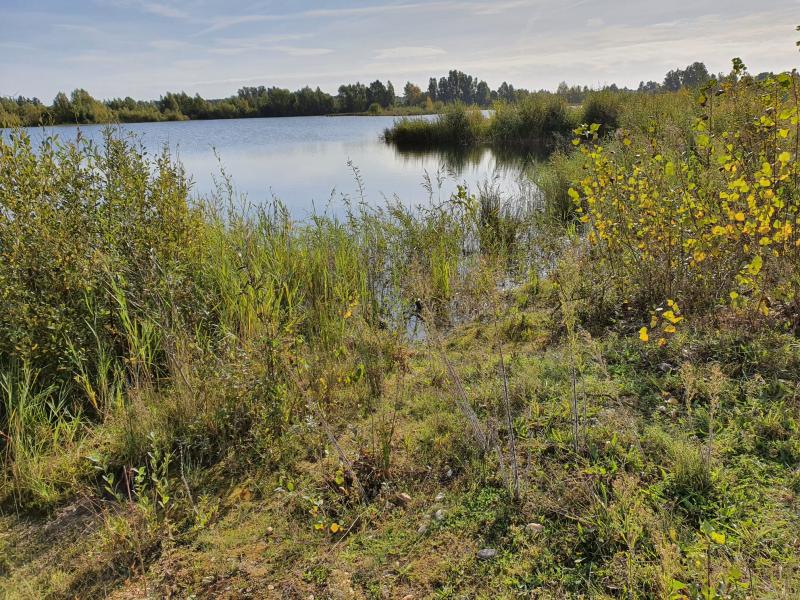
Photos
Geographic
Sites are only displayed in the site overview map if they have set an active site status.
Centroid/Representative Coordinates
Latitude: 51.762145 Longitude: 6.34045
Download