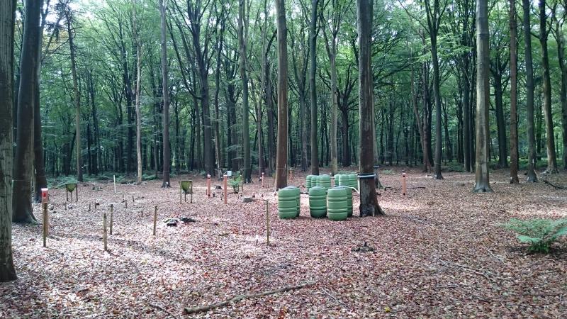
Ichtegem - Wijnendale Forest - Belgium

Basic Information
Site Name
Ichtegem - Wijnendale Forest
Short name
Wijnendale
Country
Belgium
Site Manager
Site Description
The LTER-site of Wijnendale Forest is a 90 ha scientific zone located in a larger mixed atlantic beech-oak-woodland (300 ha), in the North-West of Belgium, 20 km south of Bruges. The site is located on moderately wet to dry sandy soils. The site is an ancient woodland that used to be managed as coppice with standards. Over the last 100 years it was gradually transformed to a mixed high forest, mainly of oak and beech. The site contains - an ICP Forests Level II plot (0.25 ha), in which effects of air pollution on the forest ecosystem are monitored, according to standard protocols. - a strict forest reserve of 65 ha: here, natural dynamics of forest structure and ground vegetation are monitored, and its effects on biological diversity. - a 25 ha buffer zone, containing both forest and open grassland (extensively managed for nature conservation), where 'open field' measurements are performed. The sampling network in the strict reserve includes >100 sampling plots (0.1 ha) combined with a 1 ha core area. In these plots, full dendrometric surveys (tree position, species, DBH, height, ...) and ground vegetation relevees are performed every 10 years. Additionally, standardised sampling of saproxylic beetles, mosses and fungi were performed and high-resolution air-borne LIDAR and hyperspectral data were recorded in 2012-2014. Main aims for the future are the continuation of the observational networks to provide longer robust time-series that allow more thorough analysis and investigation.
Last modified
2022-04-29 10:04:25

CC-BY-NC Logo

General Characteristics and Status
Site Status
Operational
Year Established
1987
Observed properties
Affiliation and Network Specific Information
Affiliation
ILTERThis site is a verified "ILTER" member.
LTER EuropeThis site is a verified "LTER Europe" member.
ICP Forests (2_11)This site is a verified "ICP Forests" member.
LTER Belgium (LTER_EU_BE_05)This site is a verified "LTER Belgium" member.
Photos
not defined
not defined
not defined
not defined
not defined
not defined
not defined
not defined
not defined
not defined
not defined
not defined
not defined
not defined
not defined
not defined
not defined
not defined
not defined
not defined
not defined
not defined
not defined
not defined
not defined
not defined
not defined
not defined
not defined
not defined
Geographic
Elevation (average)
27.00msl
Elevation (min)
20.00msl
Elevation (max)
40.00msl
Download

Site information [.json]

Centroid/representative coordinates [.shp] [.kml]
Bounding Box [.shp] [.kml]
Boundaries [.shp] [.kml]