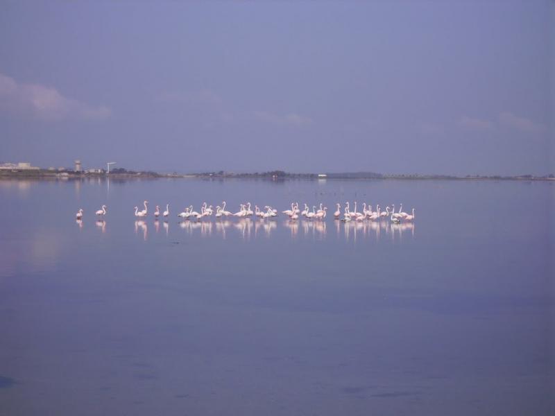
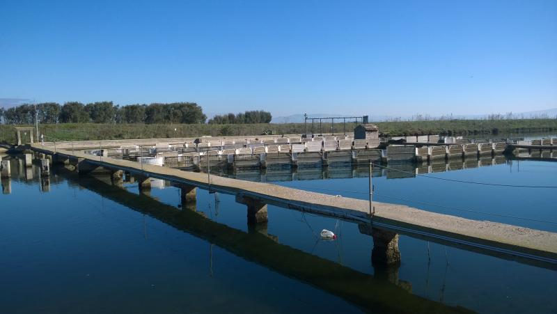
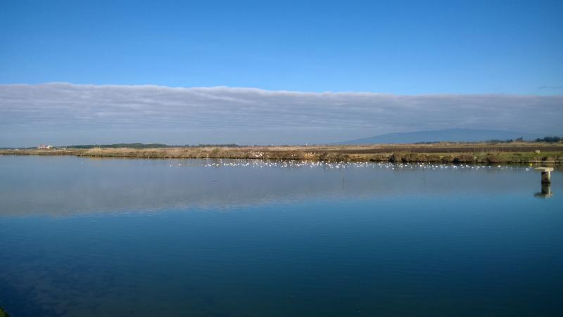
Laguna di Santa Giusta - Italy
DEIMS.ID
https://deims.org/6f7581f0-e663-4681-bf9d-4668d6c3f2ba
ProTip! Use the DEIMS.ID to reference sites in papers, reports or anywhere else.
Basic Information
Site Name
Laguna di Santa Giusta
Short name
IT14-004-M
Country
Italy
Web Address
Operating Organisation
Site Manager
Funding Agency
Site Description
Last modified
2025-01-07 11:14:56
![]()
General Characteristics and Status
Site Status
Operational
Year Established
2006
Observed properties
Affiliation and Network Specific Information
Affiliation
ILTER✔This site is a verified "ILTER" member.
LTER Europe✔This site is a verified "LTER Europe" member.
LTER Italia (Italy)✔ (LTER_EU_IT_066)This site is a verified "LTER Italia (Italy)" member.
GERI✔This site is a verified "GERI" member.
Projects
Photos
Geographic
Centroid/Representative Coordinates
Latitude: 39.861 Longitude: 8.576
Size
ca. 800.00ha
Elevation (average)
0.00msl
Elevation (min)
0.00msl
Elevation (max)
0.00msl
Download