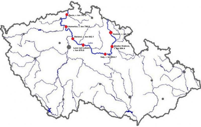
Elbe River - Czechia
DEIMS.ID
https://deims.org/858b9f78-889f-4acb-8a12-c3c2436d794c
ProTip! Use the DEIMS.ID to reference sites in papers, reports or anywhere else.
Basic Information
Site Name
Elbe River
Short name
Elbe CZ
Country
Czechia
Operating Organisation
Site Manager
Site Description
Last modified
2025-01-07 11:14:56
![]()
General Characteristics and Status
Site Status
Operational
Year Established
1993
Observed properties
Climate
Precipitation Sum: 725 mm
Temperature Mean: 7.97 °C
Standard Reference Period: 1991 - 2020
Temperature Mean: 7.97 °C
Standard Reference Period: 1991 - 2020
Affiliation and Network Specific Information
Affiliation
CZ-LTER✔This site is a verified "CZ-LTER" member.
ILTER✔This site is a verified "ILTER" member.
LTER Europe✔This site is a verified "LTER Europe" member.
GERI✔This site is a verified "GERI" member.
Projects
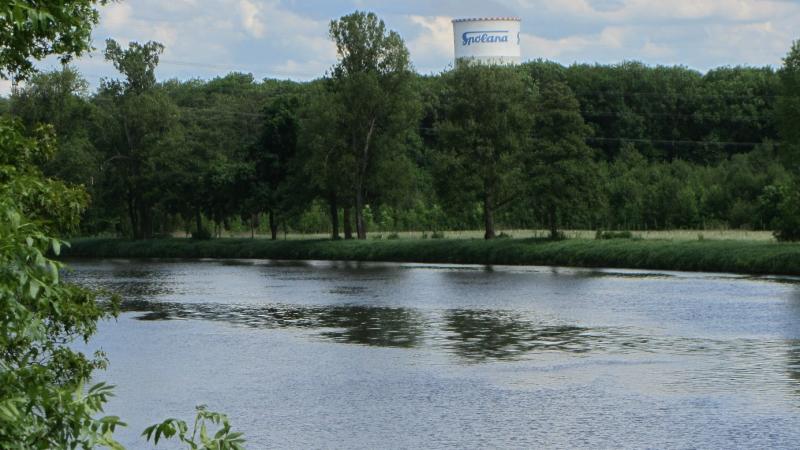
Photos


Geographic
Centroid/Representative Coordinates
Latitude: 50.192259 Longitude: 14.672919
Size
ca. 499.00ha
Elevation (average)
227.50msl
Elevation (min)
120.00msl
Elevation (max)
335.00msl
Download