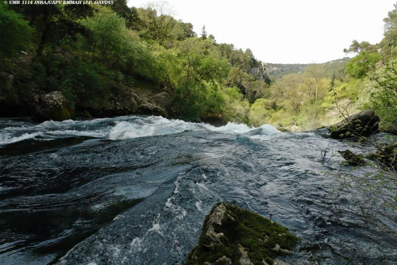
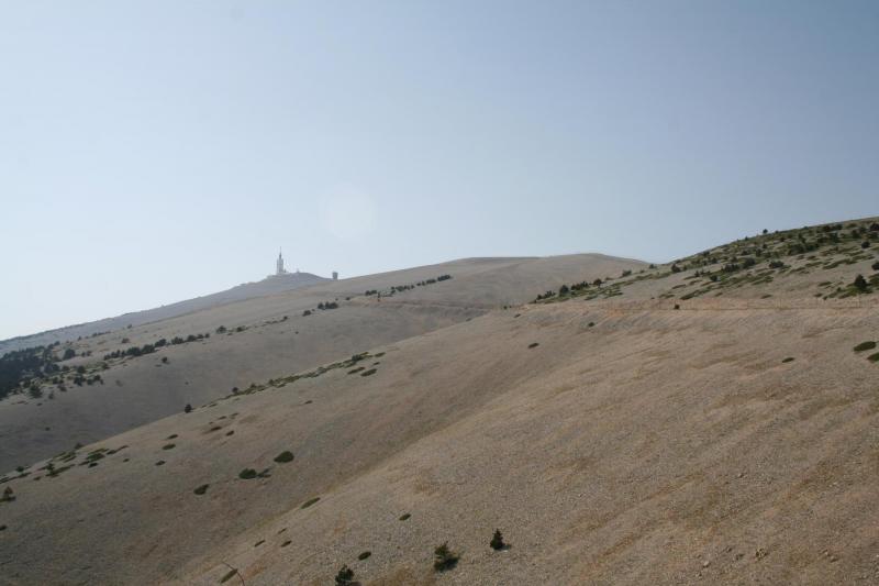
OZCAR-RI SNO_KARST Environmental Research Observatory Site of fontaine de Vaucluse - LSBB - France
DEIMS.ID
https://deims.org/8de38654-c0f2-48a6-b206-d59a3b9ae6a0
ProTip! Use the DEIMS.ID to reference sites in papers, reports or anywhere else.
Basic Information
Site Name
OZCAR-RI SNO_KARST Environmental Research Observatory Site of fontaine de Vaucluse - LSBB
Short name
SNO_KARST fontaine de Vaucluse basin
Country
France
Web Address
Operating Organisation
Site Manager
Funding Agency
Site Description
Last modified
2024-03-04 09:37:44
![]()
General Characteristics and Status
Site Status
Operational
Year Established
1981
Observed properties
Affiliation and Network Specific Information
Affiliation
ILTER✔This site is a verified "ILTER" member.
SNO Karst✖The affiliation of this site with "SNO Karst" is not verified by the network on DEIMS-SDR.
OZCAR RI✔This site is a verified "OZCAR RI" member.
LTER Europe✔This site is a verified "LTER Europe" member.
LTER France✔ (CZO_EU_FR_183)This site is a verified "LTER France" member.
Critical Zone Collaborative Network (CZ Net)✖The affiliation of this site with "Critical Zone Collaborative Network (CZ Net)" is not verified by the network on DEIMS-SDR.
Photos
Geographic
Centroid/Representative Coordinates
Latitude: 44.056284048125 Longitude: 5.47878914
Size
ca. 111600.00ha
Elevation (average)
870.00msl
Elevation (min)
84.00msl
Elevation (max)
1911.00msl
Download