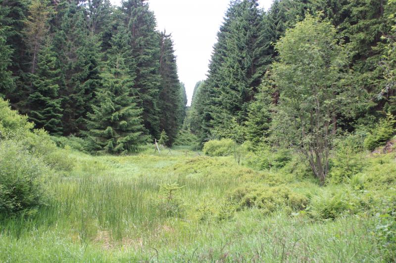
Lange Bramke - Germany
DEIMS.ID
https://deims.org/8e24d4f8-d6f6-4463-83e9-73cac2fd3f38
ProTip! Use the DEIMS.ID to reference sites in papers, reports or anywhere else.
Basic Information
Site Name
Lange Bramke
Short name
DE-13-LB
Country
Germany
Web Address
Operating Organisation
Site Manager
Site Description
Last modified
2025-12-11 10:40:35
![]()
General Characteristics and Status
Site Status
Operational
Year Established
1948
Observed properties
Affiliation and Network Specific Information
Affiliation
ILTER✔This site is a verified "ILTER" member.
LTER Europe✔This site is a verified "LTER Europe" member.
ICP Forests✔ (04_302) (04_303)This site is a verified "ICP Forests" member.
GERI✔This site is a verified "GERI" member.
LTER-D (Germany)✔ (LTER_EU_DE_013)This site is a verified "LTER-D (Germany)" member.
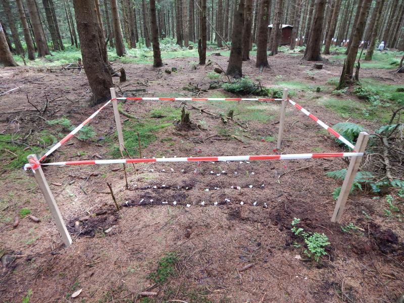
Projects
Photos


Geographic
Centroid/Representative Coordinates
Latitude: 51.8667 Longitude: 10.4333
Size
ca. 76.00ha
Elevation (average)
600.00msl
Elevation (min)
543.00msl
Elevation (max)
700.00msl
Download