TERENO - Wüstebach - Germany

Basic Information
Site Name
TERENO - Wüstebach
Short name
DE-23-3-WUE
Country
Germany
Operating Organisation
Site Manager
Site Description
The Wüstebach catchment is located in the Eifel National Park and covers an area of 38.5 ha, with mean altitude of about 610 m. The geology is dominated by Devonian shale, which is covered by a periglacial solifluction layer of about 1–2 m thickness. Cambisols and Planosols have developed on the hillslopes, whereas Gleysols and Histosols have formed in the valley. The main soil texture is silty clay loam and the litter layer has a thickness between 0.5 and 14 cm. The mean annual precipitation is about 1200 mm. Norway Spruce planted in 1946 is the prevailing vegetation type. During late summer/early autumn of 2013, trees were almost completely removed in an area of 9 ha by the national park forest management in order to promote the natural regeneration of near-natural deciduous forest from spruce monoculture forest.
Last modified
2023-07-24 01:07:25

CC-BY-NC Logo

General Characteristics and Status
Site Status
Operational
Year Established
2004
Observed properties
Affiliation and Network Specific Information
Affiliation
ILTERThis site is a verified "ILTER" member.
LTER EuropeThis site is a verified "LTER Europe" member.
ICOS (http://meta.icos-cp.eu/resources/stations/ES_DE-RuW)The affiliation of this site with "ICOS" is not verified by the network on DEIMS-SDR.
TERENOThis site is a verified "TERENO" member.
LTER-D (Germany) (LTER_EU_DE_023_003)This site is a verified "LTER-D (Germany)" member.
Critical Zone Collaborative Network (CZ Net)The affiliation of this site with "Critical Zone Collaborative Network (CZ Net)" is not verified by the network on DEIMS-SDR.
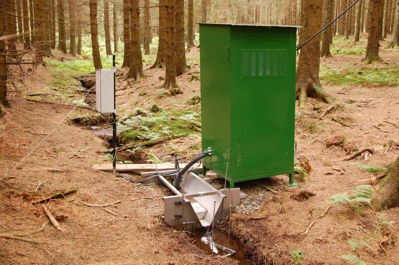
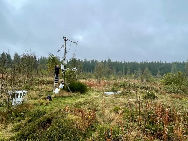
Photos
Overview of the TERENO site Wüstebach © FZ Jülich
EC station on the deforested area © FZ Jülich
38 m meteorological tower of the TERENO site Wüstebach © FZ Jülich
Measurement profile of the meteorological tower © FZ Jülich
Throughfall measurement of the TERENO site Wüstebach © FZ Jülich
Main gauging station of the TERENO site Wüstebach © FZ Jülich
Reference gauging station of the TERENO site Wüstebach © FZ Jülich
Detailed view of a gauging station © FZ Jülich
Lysimeter station of the TERENO site Wüstebach © FZ Jülich
EC station on the deforested area © FZ Jülich
Geographic
Elevation (average)
610.00msl
Elevation (min)
595.00msl
Elevation (max)
628.00msl
Download

Site information [.json]

Centroid/representative coordinates [.shp] [.kml]
Bounding Box [.shp] [.kml]
Boundaries [.shp] [.kml]