TERENO - Friedeburg - Germany

Basic Information
Site Name
TERENO - Friedeburg
Short name
Friedeburg
Country
Germany
Site Manager
Site Description
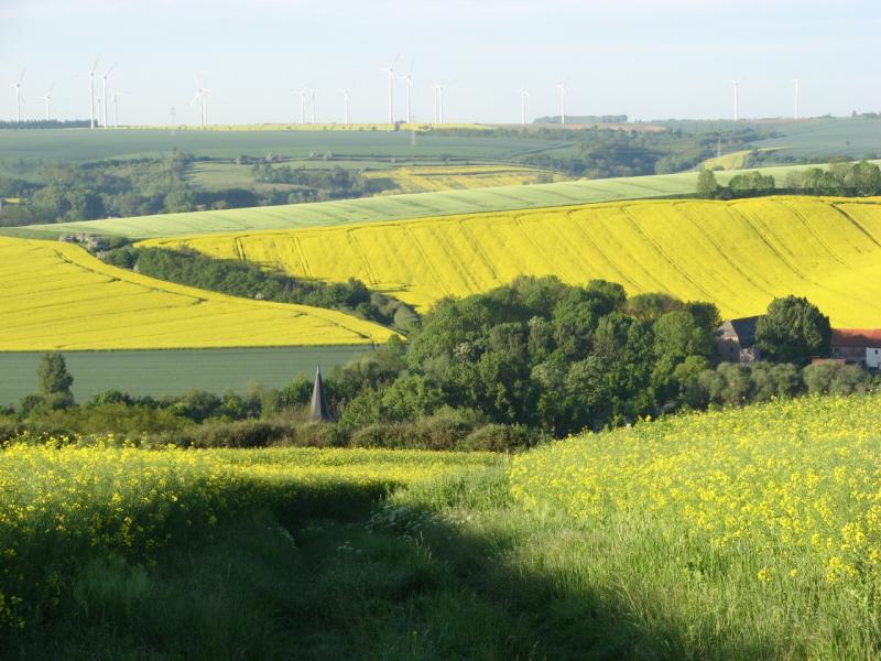
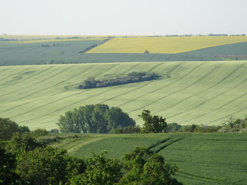
The sites Friedeburg, Greifenhagen, Harsleben, Schafstädt, Siptenfelde and Wanzleben are part of the TERENO Harz / Central German Lowland Observatory in Saxony-Anhalt run by the Helmholtz Centre for Environmental Research UFZ. These sites have a focus on biodiversity monitoring in the “normal landscape” which is characterized by agricultural use (about 60 % coverage of Saxony-Anhalt). Each site is a 4x4 km landscape of mainly arable land and semi-natural habitats like e.g. hedges and forests. The site Friedeburg is close to the river Saale and about 20 km northwest of the city of Halle (Saale). It is characterized by a distinct topography with valleys and slopes with a mean elevation of 122 m asl. Accordingly the average size of crop fields is lowest compared to the other sites, but the total area covered by crop fields is still 71 % and all semi-natural habitats summing up to 10 %.
Last modified
2023-07-25 14:07:10

CC-BY-NC Logo

General Characteristics and Status
Site Status
Operational
Year Established
2002
Observed properties
Affiliation and Network Specific Information
Affiliation
ILTERThis site is a verified "ILTER" member.
LTER EuropeThis site is a verified "LTER Europe" member.
TERENOThis site is a verified "TERENO" member.
LTER-D (Germany) (LTER_EU_DE_002_004)This site is a verified "LTER-D (Germany)" member.
Photos
Site Friedeburg
Site Friedeburg
not defined
not defined
not defined
not defined
not defined
not defined
Geographic
Centroid/Representative Coordinates

Latitude: 51.6197 Longitude: 11.7158

Size
ca. 1600.00ha
Elevation (average)
100.00msl
Elevation (min)
70.00msl
Elevation (max)
160.00msl
Download
Site information [.json]

Centroid/representative coordinates [.shp] [.kml]
Bounding Box [.shp] [.kml]
Boundaries [.shp] [.kml]