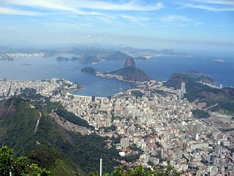
Guanabara Bay, Rio de Janeiro - Brazil

Basic Information
Platform Icon

Site Name
Guanabara Bay, Rio de Janeiro
Short name
Guanabara Bay
Country
Brazil
Site Manager
Site Description
Guanabara Bay (GB) is the second largest bay in the coast of Brazil (384 km2) (22o41 to 22o56 S ; 43o02 to 43o18 W). In its surroundings live 16 million inhabitants (6 million in Rio de Janeiro city). This system experiences steep spatial gradient from the entrance to inner bay. GB receives high load of nutrients and organic material from riverine sources and from domestic and industrial sewage inputs. As a consequence, this system is characterized as a high eutrophicate and polluted one. In spite of its poor environmental status, GB still presents many living resources who use the bay as a refuge, feeding and nursery grounds, with some of those species having commercial interest. An important characteristic of GB is the influence ...
Show more ...
Last modified
2021-03-11 11:03:07

CC-BY-NC Logo

General Characteristics and Status
Site Status
Operational
Year Established
2009
Observed properties
ecosystem parameterchemical parameterwater parameterbacillariophyceaeabundancebacteriaabundancebenthicinvertebratesabundancecommunitycompositionecosystemstructuremacrofaunaabundancemicrobialdiversityspeciesabundanceammoniumnitrateconcentrationdissolvedorganiccarboninwatersuspendedsolidstotalorganiccarbonwatersalinitychlorophyllcontentofwatersecchidepthwaterqualitywatertemperature
Affiliation and Network Specific Information
Affiliation
LTER Brazil (LTERSAMBR19)This site is a verified "LTER Brazil" member.
Photos
Guanabara Bay view
Guanabara Bay view
Geographic
Marker
300 km
200 mi
Centroid/Representative Coordinates

Latitude: -22.6833 Longitude: -43.0333

Size
ca. 3840000.00ha
Elevation (average)
-10.00msl
Elevation (min)
-2.00msl
Elevation (max)
-30.00msl
Download

Site information [.json]

Centroid/representative coordinates [.shp] [.kml]