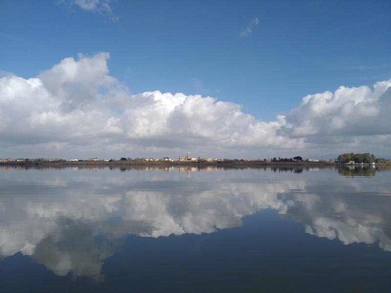
Laguna di Cabras - Italy
DEIMS.ID
https://deims.org/d5071d21-9c8f-47cc-b534-1b1162a5e09c
ProTip! Use the DEIMS.ID to reference sites in papers, reports or anywhere else.
Basic Information
Site Name
Laguna di Cabras
Short name
IT14-003-M
Country
Italy
Web Address
Operating Organisation
Site Manager
Funding Agency
Site Description
Last modified
2025-07-11 10:56:09
![]()
General Characteristics and Status
Site Status
Stand-by
Year Established
2006
Observed properties
Affiliation and Network Specific Information
Affiliation
ILTER✔This site is a verified "ILTER" member.
LTER Europe✔This site is a verified "LTER Europe" member.
LTER Italia (Italy)✔ (LTER_EU_IT_064)This site is a verified "LTER Italia (Italy)" member.
GERI✔This site is a verified "GERI" member.
Projects
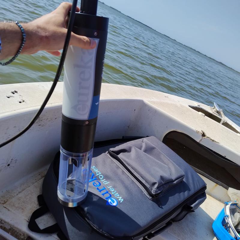
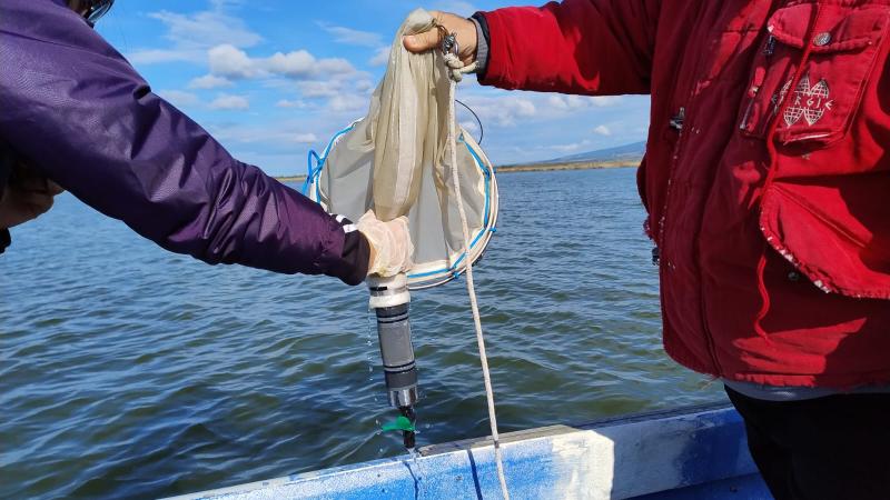
Photos

Geographic
Centroid/Representative Coordinates
Latitude: 39.939768 Longitude: 8.481445
Size
ca. 2380.00ha
Elevation (average)
0.00msl
Elevation (min)
0.00msl
Elevation (max)
0.00msl
Download