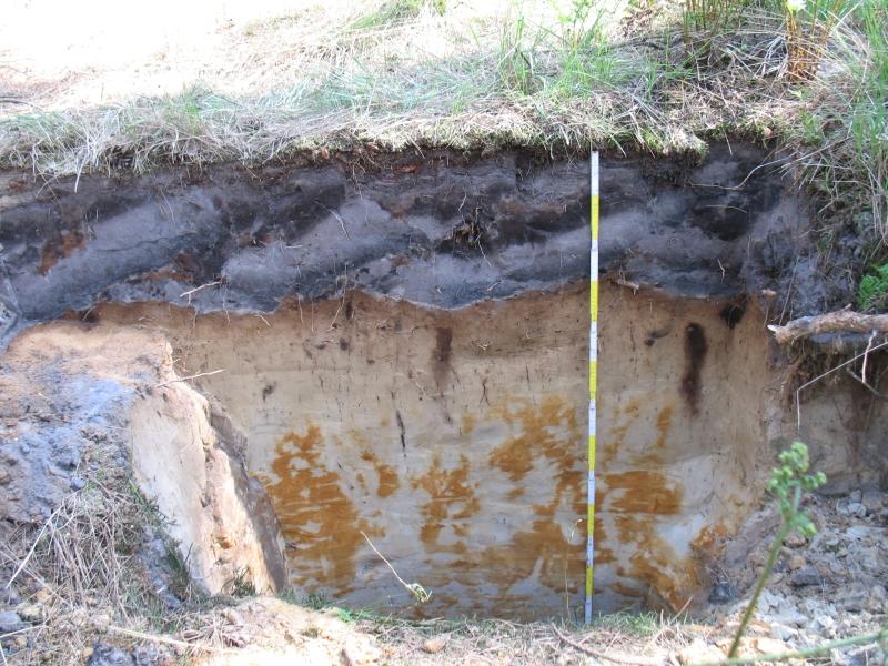
Ravels Forest - Belgium
DEIMS.ID
https://deims.org/e74fdeaf-08ed-4306-9473-58e3f9a05e73
ProTip! Use the DEIMS.ID to reference sites in papers, reports or anywhere else.
Basic Information
Site Name
Ravels Forest
Short name
Ravels
Country
Belgium
Web Address
Operating Organisation
Site Manager
Site Description
Last modified
2025-01-07 11:14:56
![]()
General Characteristics and Status
Site Status
Operational
Year Established
1987
Observed properties
Affiliation and Network Specific Information
Affiliation
ILTER✔This site is a verified "ILTER" member.
LTER Europe✔This site is a verified "LTER Europe" member.
ICP Forests✔ (2_14)This site is a verified "ICP Forests" member.
LTER Belgium✔ (LTER_EU_BE_04)This site is a verified "LTER Belgium" member.
GERI✔This site is a verified "GERI" member.
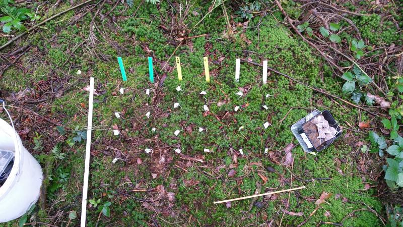
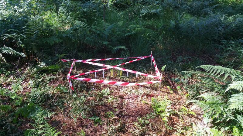
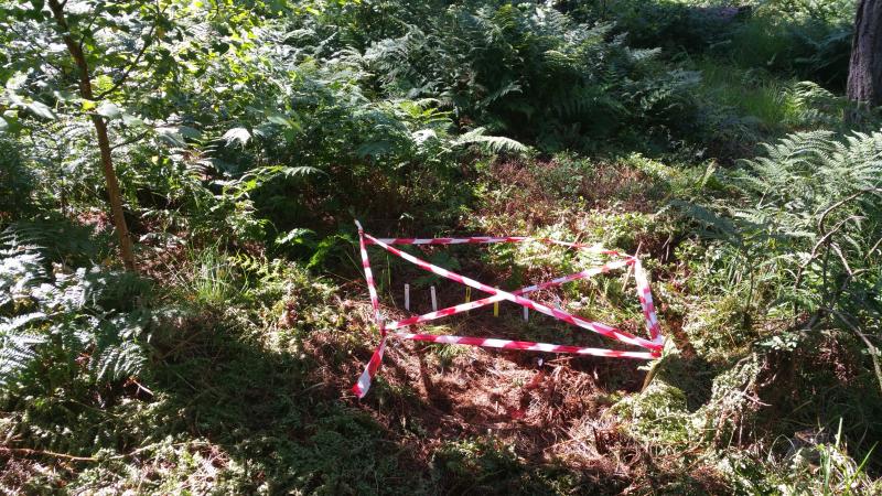
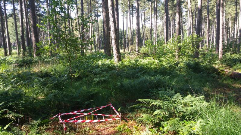
Photos

Geographic
Centroid/Representative Coordinates
Latitude: 51.402029 Longitude: 5.056656
Size
ca. 0.50ha
Elevation (average)
34.87msl
Elevation (min)
34.87msl
Elevation (max)
34.87msl
Download