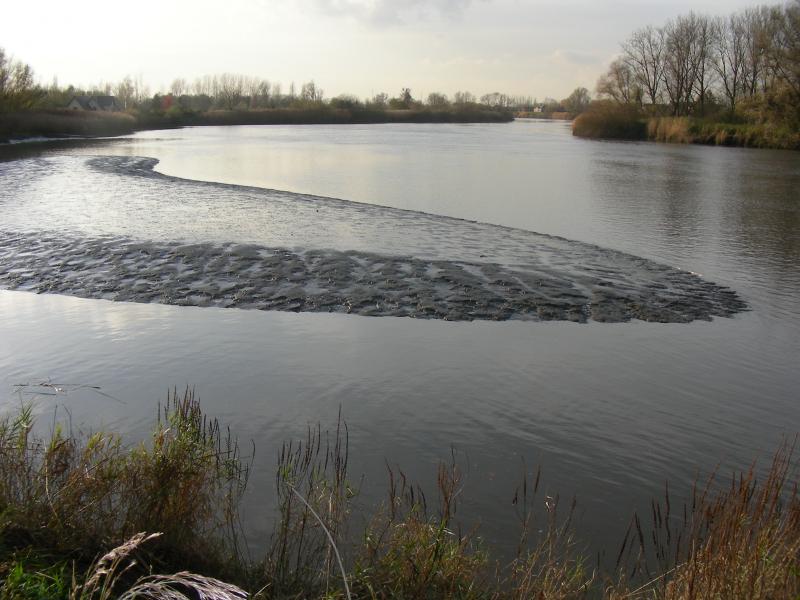
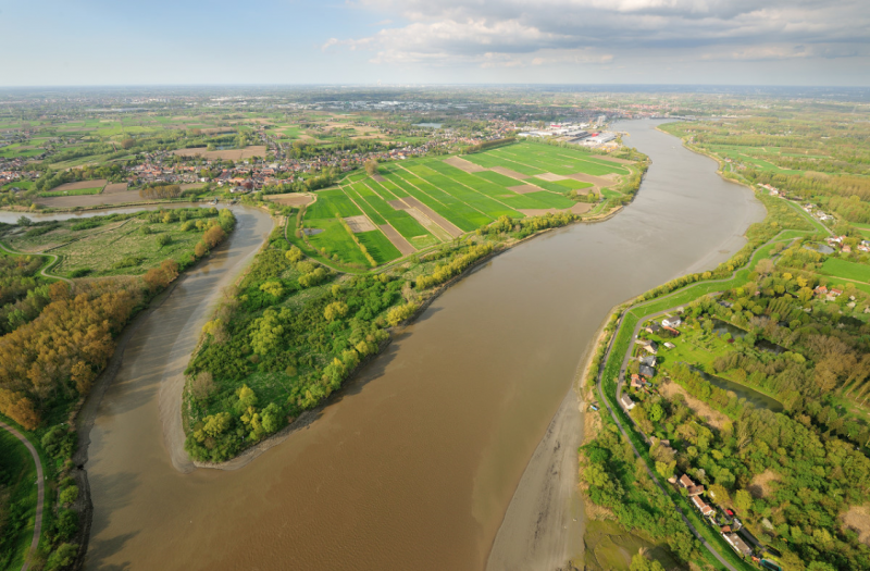
Scheldt Estuary and its alluvial plains - Belgium
DEIMS.ID
https://deims.org/f64f5541-c6a5-45ff-a996-bb4e799d6736
ProTip! Use the DEIMS.ID to reference sites in papers, reports or anywhere else.
Basic Information
Site Name
Scheldt Estuary and its alluvial plains
Short name
Scheldt estuary
Country
Belgium
Site Manager
Site Description
Last modified
2025-01-07 11:14:56
![]()
General Characteristics and Status
Site Status
Operational
Year Established
1991
Observed properties
Affiliation and Network Specific Information
Affiliation
ILTER✔This site is a verified "ILTER" member.
LTER Europe✔This site is a verified "LTER Europe" member.
LTER Belgium✔ (LTER_EU_BE_06)This site is a verified "LTER Belgium" member.
GERI✔This site is a verified "GERI" member.
Projects
Photos
Geographic
Centroid/Representative Coordinates
Latitude: 51.115283 Longitude: 4.248877
Size
ca. 140272.00ha
Elevation (average)
4.84msl
Elevation (min)
-13.00msl
Elevation (max)
14.50msl
Download