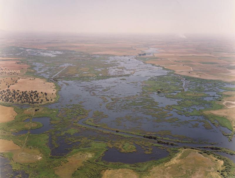
Las Tablas de Daimiel National Park - Spain
DEIMS.ID
https://deims.org/3f485cdb-fd8c-433a-910b-7f8c73c1d882
ProTip! Use the DEIMS.ID to reference sites in papers, reports or anywhere else.
Basic Information
Site Name
Las Tablas de Daimiel National Park
Short name
TDNP
Country
Spain
Operating Organisation
Site Manager
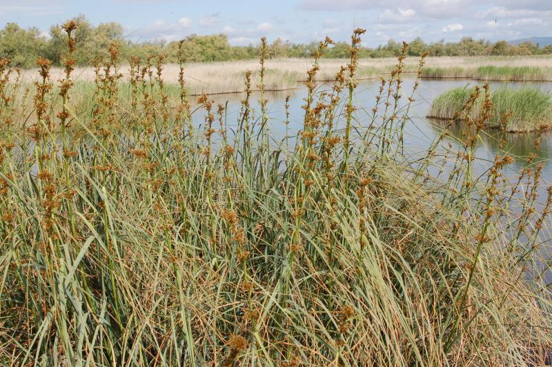
Site Description
Last modified
2025-01-07 11:14:56
![]()
General Characteristics and Status
Site Status
Operational
Year Established
1985
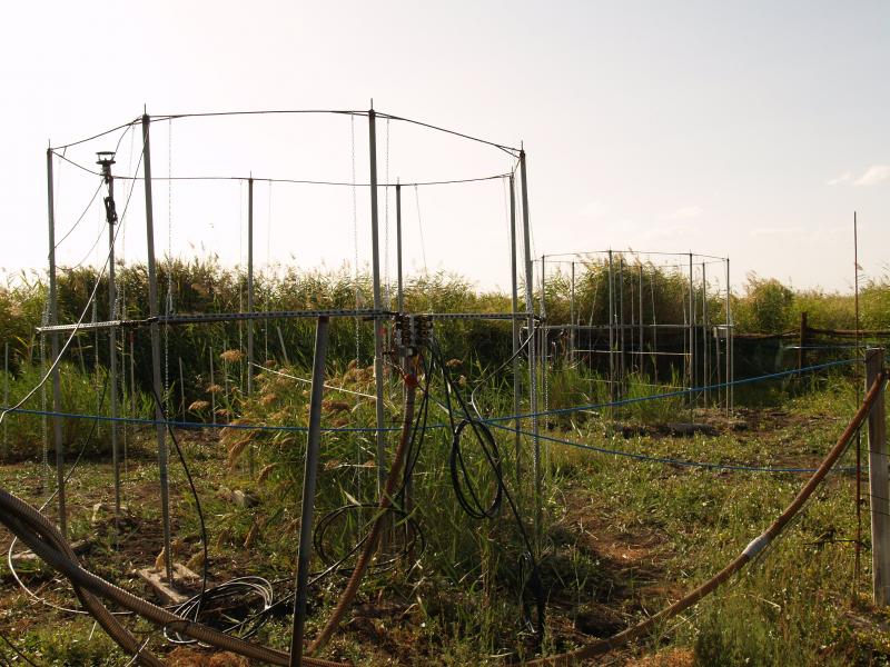
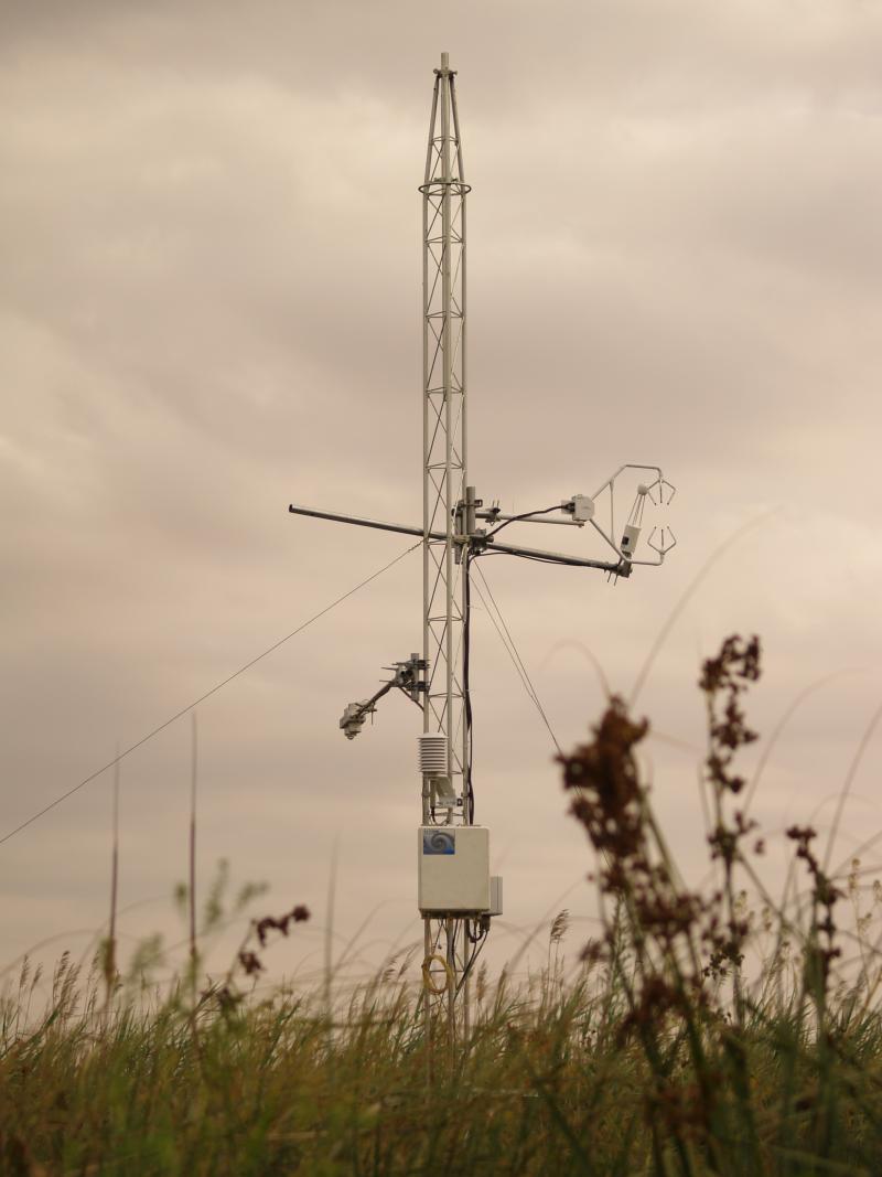
Observed properties
Affiliation and Network Specific Information
Affiliation
ILTER✔This site is a verified "ILTER" member.
LTER Spain✔ (LTER_EU_ES_026)This site is a verified "LTER Spain" member.
LTER Europe✔This site is a verified "LTER Europe" member.
GERI✔This site is a verified "GERI" member.
Projects
Photos
Geographic
Centroid/Representative Coordinates
Latitude: 39.132826 Longitude: -3.692048
Size
ca. 1675.00ha
Elevation (average)
610.00msl
Elevation (min)
605.00msl
Elevation (max)
634.00msl
Download