Abisko Scientific Research Station - Sweden
DEIMS.ID
https://deims.org/64679f32-fb3e-4937-b1f7-dc25e327c7af
ProTip! Use the DEIMS.ID to reference sites in papers, reports or anywhere else.
Basic Information
Site Name
Abisko Scientific Research Station
Short name
Abisko Scientific Research Station
Country
Sweden
Web Address
Operating Organisation
Site Manager
Site Description
Last modified
2024-09-12 16:25:12
![]()
General Characteristics and Status
Site Status
Operational
Year Established
1913
Affiliation and Network Specific Information
Affiliation
ILTER✔This site is a verified "ILTER" member.
Swedish Infrastructure for Ecosystem Science (SITES)✔This site is a verified "Swedish Infrastructure for Ecosystem Science (SITES)" member.
LTER Europe✔This site is a verified "LTER Europe" member.
LTER Sweden✔ (LTER_EU_SE_010)This site is a verified "LTER Sweden" member.
GERI✔This site is a verified "GERI" member.
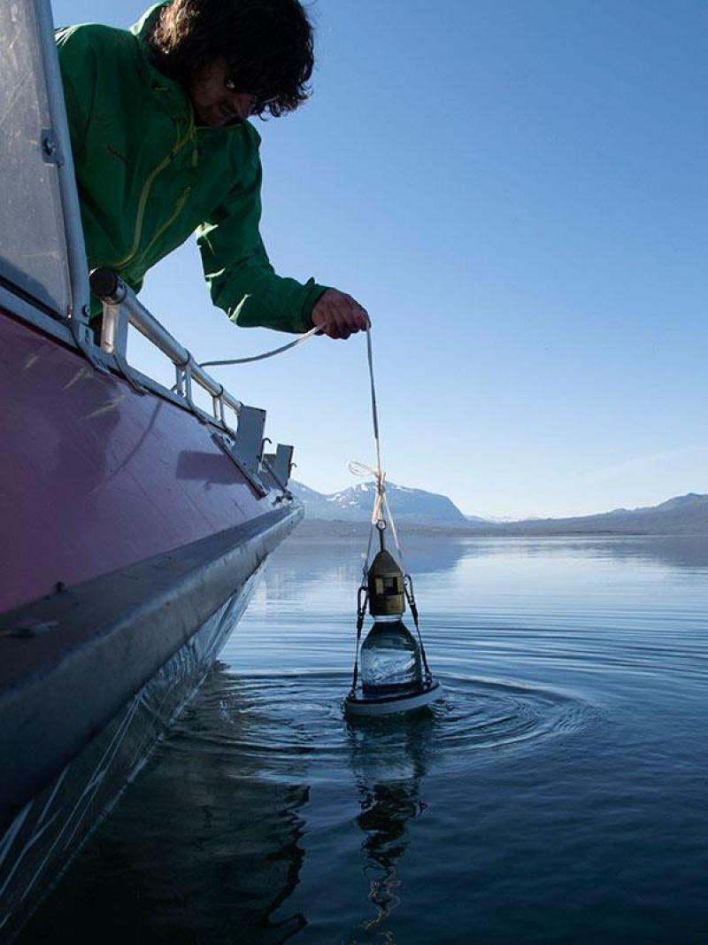
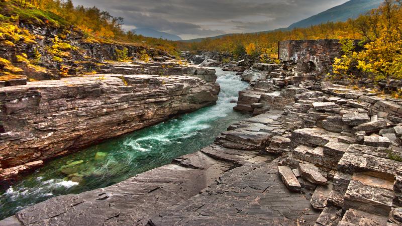
Photos

Geographic
Centroid/Representative Coordinates
Latitude: 68.353729 Longitude: 18.816522
Size
ca. 7949.58ha
Elevation (min)
341.90msl
Elevation (max)
1742.10msl
Download