LTSER Zone Atelier Hwange - Zimbabwe

DEIMS.ID
https://deims.org/68d19865-587a-45a4-baa7-d927444436ca

 ProTip! Use the DEIMS.ID to reference sites in papers, reports or anywhere else.

Basic Information
Platform Icon

Site Name
LTSER Zone Atelier Hwange
Short name
ZAHWG
Country
Zimbabwe
Site Manager
Site Description
The LTSER Zone Atelier Hwange (ZAHWG) belongs to LTER-France network and is located in western Zimbabwe, in Sub-Saharan Africa, and is centered around Hwange National Park. The ecosystem is dominated by dystrophic savannas (mostly wooded savannas and dry woodlands) with discrete water sources. Surrounding land-uses include forestry areas, subsistence agro-pastoral farming, private ranches and hunting concessions, and mining. The ZAHG conducts an interdisciplinary research on the dynamics and resilience of this socio-ecological system organised, around a large protected area with re-known large mammal diversity and facing major social and climatic challenges for sustainable conservation
Last modified
2025-05-05 08:08:54

CC-BY-NC Logo

General Characteristics and Status
Site Status
Operational
Year Established
2010
Observed properties
Affiliation and Network Specific Information
Affiliation
ILTERThis site is a verified "ILTER" member.
LTER EuropeThis site is a verified "LTER Europe" member.
LTER France (LTER_EU_FR_010)This site is a verified "LTER France" member.
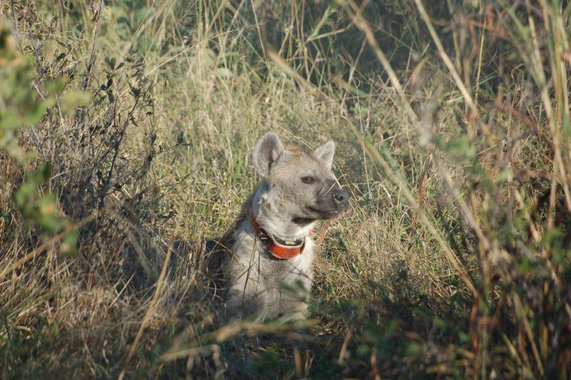
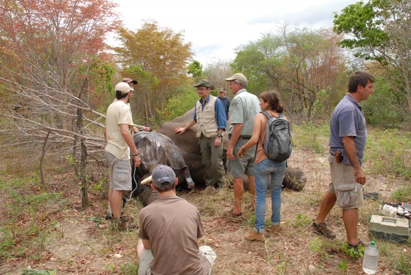
Photos
Waterholes are used by numerous species of large mammalian herbivores
Cape buffalo drinking at a waterhole
A giraffe and some zebras drinking at a waterhole
Capture of a plains zebra for GPS collar deployment
Cheetah in the grass
An ear-tagged impala
A hyaena carrying a GPS collar
Elephant capture for GPS deployment
Geographic
Centroid/Representative Coordinates

Latitude: -19.129681 Longitude: 26.545715

Size
ca. 1500000.00ha
Elevation (average)
1000.00msl
Elevation (min)
600.00msl
Elevation (max)
1200.00msl
Download

Site information [.json]

Centroid/representative coordinates [.shp] [.kml] [.geojson]
Bounding Box [.shp] [.kml] [.geojson]