Dijleland - Belgium
DEIMS.ID
https://deims.org/7629b584-b8dd-4da5-a4ba-4175bb985673
ProTip! Use the DEIMS.ID to reference sites in papers, reports or anywhere else.
Basic Information
Site Name
Dijleland
Short name
Dijeland
Country
Belgium
Operating Organisation
Site Manager
Site Description
Last modified
2023-07-25 08:52:19
![]()
General Characteristics and Status
Site Status
Operational
Year Established
1990
Affiliation and Network Specific Information
Affiliation
ILTER✔This site is a verified "ILTER" member.
LTER Europe✔This site is a verified "LTER Europe" member.
ICP Forests✔ (2_12)This site is a verified "ICP Forests" member.
LTER Belgium✔ (LTER_EU_BE_07)This site is a verified "LTER Belgium" member.
Projects
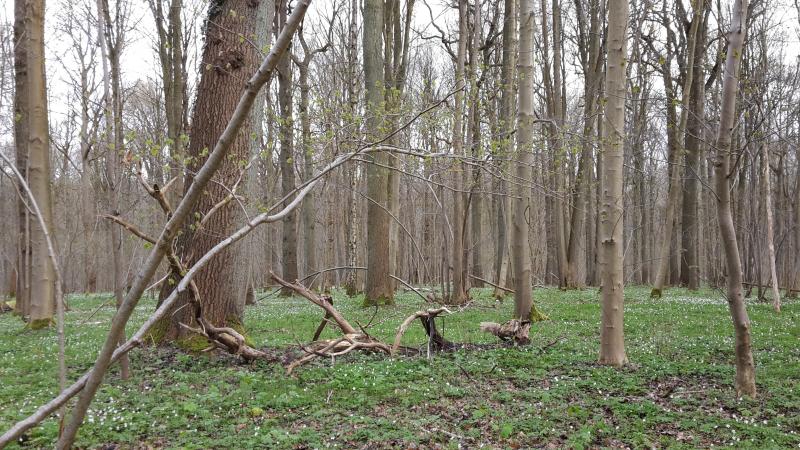
Photos


Geographic
Centroid/Representative Coordinates
Latitude: 50.8008 Longitude: 4.6872
Size
ca. 2561.00ha
Elevation (average)
63.50msl
Elevation (min)
25.00msl
Elevation (max)
102.00msl
Download