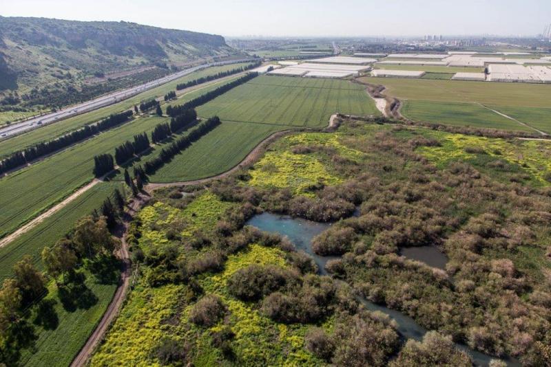
Ramat Hanadiv LTSER Platform - Israel

Basic Information
Platform Icon

Site Name
Ramat Hanadiv LTSER Platform
Short name
RHD Platform
Country
Israel
Operating Organisation
Site Manager
Funding Agency
Site Description
The Ramat Hanadiv LTSER platform is a unique texture of the region surrounding Hanadiv Valley and Taninim River basin. It integrates nature values with agriculture, rural communities, and heritage sites. The platform extends over an area of apprx. 15,500 hectares, including Ramat Hanadiv Nature Park and five neighboring municipal Councils: 1. Binyamina Givat-Ada (Urban; Local Council ) 2. Zikhron Ya’akov (Urban; Local Council ) 3. Hof Hacarmel (Rural; Regional Council) 4. Jisr A-Zarqa )Arab village; Local Council) 5. Alona (Rural; Regional Council) Ramat Hanadiv LTER site is located in the heart of the platform, at the southern tip of the Carmel Mountain Ridge. Ramat Hanadiv spreads over approximately 450 hectares of typical ...
Show more ...
Last modified
2025-01-07 11:01:56

CC-BY-NC Logo

General Characteristics and Status
Site Status
Operational
Year Established
2014
Observed properties
ecosystem parameterbiological parameterlandscape parameterremote sensing parameteranimalspeciesabundanceanimalspeciespresencebirdsabundancebirdspresencecommunitycompositionforeststructurehabitatuseplantcoverplantdensityplantdiversityplantspeciesabundanceplantspeciescompositionplantspeciespresenceplantspeciesrichnesspopulationchangesovertimeseedlingsurvivalratespeciesabundancespeciescompositionspeciesgroupabundancespecieslistspeciespresencespeciesrichnessspeciesturnovervegetationpatternvegetationstructurenestsuccesspopulationsizesurvivalratetreeagetreeconditiontreemortalitylandscapeconnectivitylandscapefragmentationlandscapepatternpatchdensitypatchsizeozoneconcentration
Affiliation and Network Specific Information
Affiliation
LTER EuropeThis site is a verified "LTER Europe" member.
GERIThis site is a verified "GERI" member.
EUROPARCThe affiliation of this site with "EUROPARC" is not verified by the network on DEIMS-SDR.
LTER IsraelThis site is a verified "LTER Israel" member.
Projects
Photos
Agriculture
Agriculture
Geographic
Marker
300 km
200 mi
Centroid/Representative Coordinates

Latitude: 32.5524324 Longitude: 34.9453

Size
ca. 15500.00ha
Elevation (average)
60.00msl
Elevation (min)
0.00msl
Elevation (max)
120.00msl
Download

Site information [.json]

Centroid/representative coordinates [.shp] [.kml]