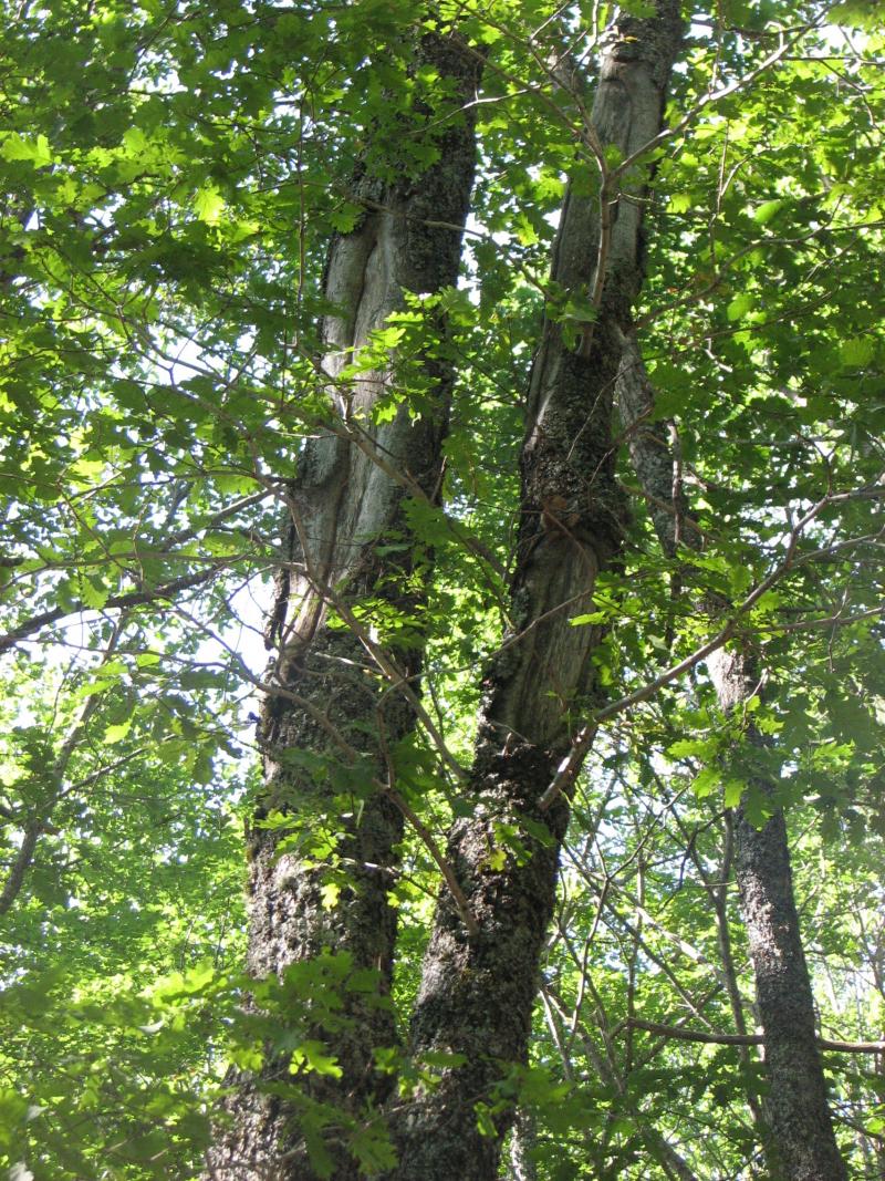
Spanish ICP-Forests Level II Plots Network (Plot code 33 Qpe) - Spain
Basic Information
Site Name
Spanish ICP-Forests Level II Plots Network (Plot code 33 Qpe)
Short name
Spain ICP-Forests - Plot 33 Qpe
Country
Spain
Operating Organisation
Site Manager
Site Description
Last modified
2025-05-26 11:05:40
General Characteristics and Status
Site Status
Operational
Year Established
1994
Observed properties
Affiliation and Network Specific Information
Affiliation
ILTER✔This site is a verified "ILTER" member.
LTER Spain✔ (LTER_EU_ES_020)This site is a verified "LTER Spain" member.
LTER Europe✔This site is a verified "LTER Europe" member.
ICP Forests✔ (11_33)This site is a verified "ICP Forests" member.
GERI✔This site is a verified "GERI" member.
Projects
Photos
Geographic
Centroid/Representative Coordinates
Latitude: 42.8664 Longitude: -4.5575
Size
ca. 0.25ha
Elevation (average)
1150.00msl
Elevation (min)
1150.00msl
Elevation (max)
1150.00msl
Download


