LTSER Dutch Wadden Sea Area - Netherlands

Basic Information
Platform Icon

Site Name
LTSER Dutch Wadden Sea Area
Short name
NL-WZ
Country
Netherlands
Site Manager
Site Description
The Dutch Wadden Sea area is a large coastal area (615510 ha) bordering the north of the Netherlands. A range of inhabited barrier islands (included in LTSER Dutch Wadden Sea Area) separate the Dutch Wadden Sea from the North Sea. The barrier islands comprise sandy beaches, dunes, grazed and ungrazed saltmarsh areas, and polders with meadows and villages. The Dutch Wadden Sea itself consists of intertidal mudflats and subtidal areas. The southern border of the area consists of inhabited polders, many of which consist of reclaimed saltmarsh areas. The Dutch Wadden Sea is part of the international Wadden Sea, extending along the coasts of Denmark, Germany and the Netherlands. The international Wadden Sea comprises the largest tidal flats system in the world, where natural processes proceed to a large extent undisturbed.
Last modified
2023-12-19 08:12:00

CC-BY-NC Logo

General Characteristics and Status
Site Status
Operational
Year Established
1872
Affiliation and Network Specific Information
Affiliation
ILTERThis site is a verified "ILTER" member.
LTER EuropeThis site is a verified "LTER Europe" member.
Netherlands LTER (LTER_EU_NL_001)This site is a verified "Netherlands LTER" member.
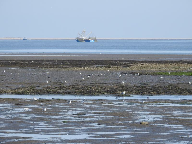
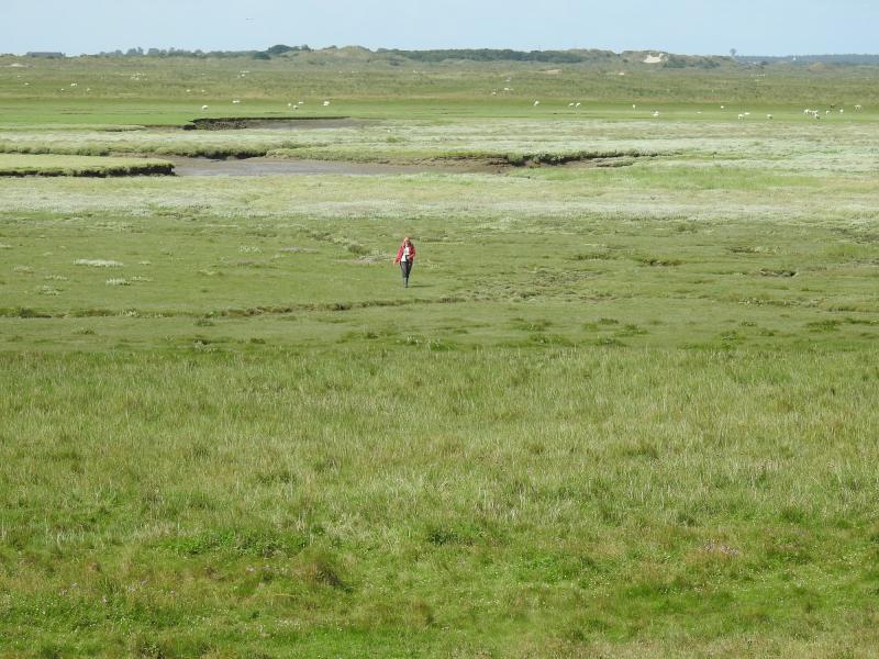
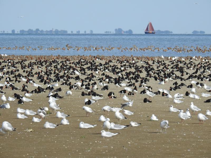
Photos
Birds feeding on exposed intertidal flats with a mussel bed and a vessel fishing for shrimp in the gully
Ferry between Holwerd on the mainland and the barrier island Ameland navigating through a shallow gully
Oystercatchers, gulls and terns roosting during high tide on a grazed saltmarsh on the island of Vlieland
Educational excursion organised by Ecomare on the intertidal flats bordering the island of Texel with the island of Vlieland in the distance
Scientist walking on the grazed saltmarsh of the island of Ameland bordered by artificial dunes
Hide for observing birds on the edge of the saltmarsh on the island of Ameland with the mainland coast in the distance
Scientists transporting equipment on a large sandbank called Vliehors on the island of Vlieland
Scientist struggling with the wind and moving sand in young developing dunes on the Vliehors on the island of Vlieland
Research vessel Navicula from NIOZ and vessel Krukel from ministry LNV used for both inspection, monitoring and research, on exposed tidal flats
Downloading measurements from a measuring pole on board a research vessel
Birds roosting during high tide on a sandbank
Geographic
Centroid/Representative Coordinates

Latitude: 53.25 Longitude: 5.25

Elevation (average)
0.00msl
Elevation (min)
-3.40msl
Elevation (max)
24.10msl
Download

Site information [.json]

Centroid/representative coordinates [.shp] [.kml]
Bounding Box [.shp] [.kml]
Boundaries [.shp] [.kml]