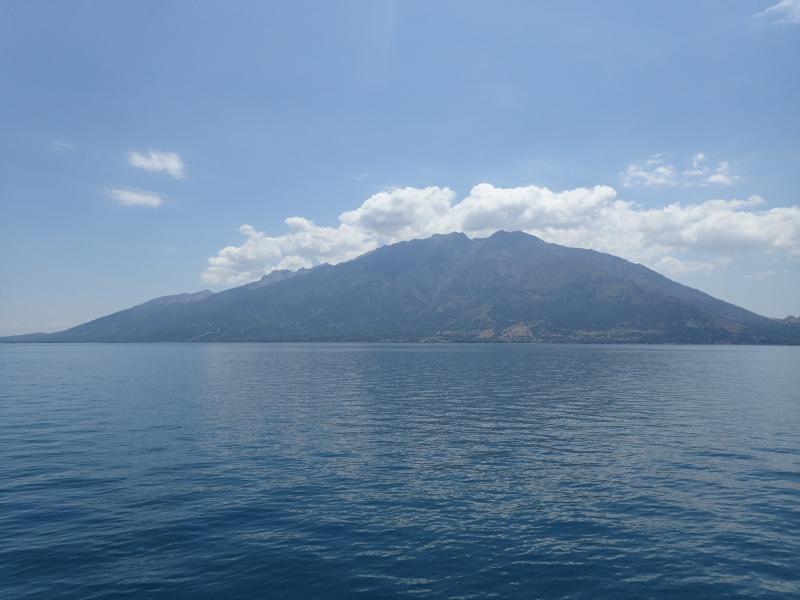
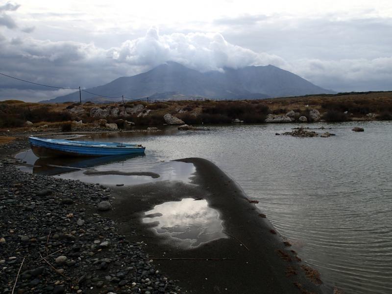
LTSER Platform Samothraki Nature Observatory - Greece
DEIMS.ID
https://deims.org/44ef9f2b-cf2b-42bd-8c05-0688c16be6fd
ProTip! Use the DEIMS.ID to reference sites in papers, reports or anywhere else.
Basic Information
Site Name
LTSER Platform Samothraki Nature Observatory
Short name
SNO
Country
Greece
Web Address
Site Manager
Site Description
Last modified
2025-01-07 11:14:56
![]()
General Characteristics and Status
Site Status
Operational
Year Established
2013
Observed properties
Affiliation and Network Specific Information
Affiliation
ILTER✔This site is a verified "ILTER" member.
LTER Europe✔This site is a verified "LTER Europe" member.
LTER Greece✔ (LTER_EU_GR_007)This site is a verified "LTER Greece" member.
GERI✔This site is a verified "GERI" member.
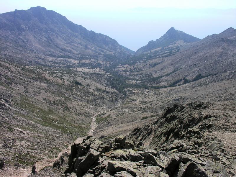
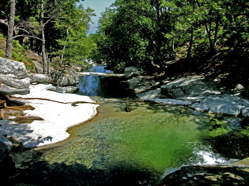
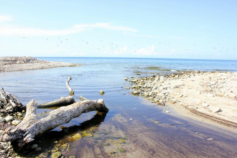
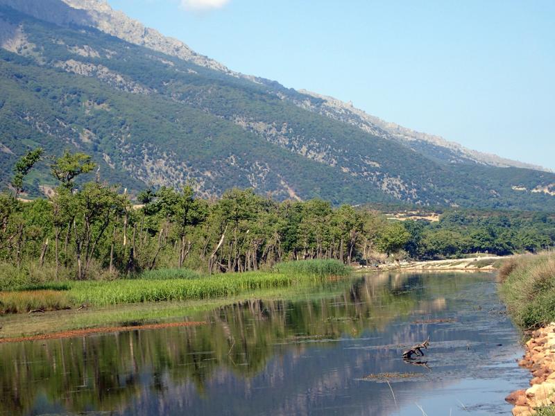
Photos
Geographic
Centroid/Representative Coordinates
Latitude: 40.456875 Longitude: 25.578232
Size
ca. 17800.00ha
Elevation (average)
431.96msl
Elevation (min)
0.00msl
Elevation (max)
1611.00msl
Download