Rosalia Lehrforst - Austria

Basic Information
Site Name
Rosalia Lehrforst
Short name
Rosalia Lehrforst
Country
Austria
Site Description
The University forest is about 1000 ha, covered with all major tree species and forest types in Austria (Norway spruce, Fir, Larch, Scots pine, Beech, Oak, etc). The forest area is located in the Rosalia Mountains near the Lower Austria/Burgenland border. The Demonstration Forest (950 ha) was setted up in 1972 by agreement between the Federal Forst of Austria and the University. Nevertheless, the University deal with this area since 1875, at that time considerable documentations and a forst description and planning was elaborated. It is located on the western slope of the mountainous ridge called „Rosaliengebirge“ in the southeastern part of Lower Austria (LAT 47°42’N, LON 16°17’ E). Elevation is between 300 and 720 m a.s.l, annual mean temperature of 6.5 deg C and 800 mm annual precipitation sum. The forest is mainly composed of beech associations (Fagetums) , peripheral also spruce-fir-beech forest association (Abieti-Fagetum). The Key task of the Forest Demonstration Centre ist supporting the educational and research work of the University of Natural Resources and Life Sciences. Accordingly, accommodation, work and teaching facilities are provided. The research focus lies on following areas: · Collection and hold ready of area-based and environmental Data · Establishing and monitoring of sample plots especially for beech growth and treatment related questions · Characterization of local and microclimate · Environmental impacts to forest ecosystems · Monitoring and modelling of small forested watersheds Essential research and educational infrastructure are: · 4 Weather monitoring stations · 2 scaffolding towers for measuring (35m) with instrument cabin · 4 Measuring weirs for runoff monitoring (Watershed 230 ha) · radio linked data collection and on-line hosting · Surveying and Mapping equipments (terrestric and GPS) · IT-Room with different Software-packages (GIS, Planning Tools etc.) · Laboratories and work rooms · Lecture Rooms · Accommodation The available data range from base data (GIS-Data), meterological and hydrological time series (since 1990), inventory data of growing stock, data of different plots to measuring data related to numerous projects.
Last modified
2022-10-24 09:10:04

CC-BY-NC Logo

General Characteristics and Status
Site Status
Operational
Year Established
1972
Observed properties
Photos
Site seen from East to West

Site seen from East to West

V-Notch (Thompson-) weir in the Grasriegel-Graben

V-Notch (Thompson-) weir in the Grasriegel-Graben

Building with accomodation facilities and laboratories

Building with accomodation facilities and laboratories

Field data collection

Field data collection

Measuring mast with meteo sensors

Measuring mast with meteo sensors

Measuring tower

Measuring tower

Geographic
Elevation (average)
535.00msl
Elevation (min)
300.00msl
Elevation (max)
720.00msl
Affiliation and Network Specific Information
Affiliation
ILTERThis site is a verified "ILTER" member.
LTER EuropeThis site is a verified "LTER Europe" member.
LTER Austria (LTER_EU_AT_037)This site is a verified "LTER Austria" member.
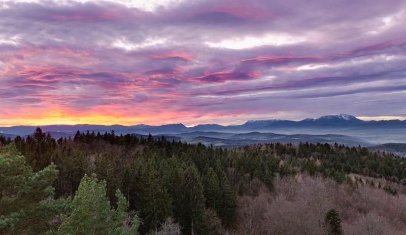
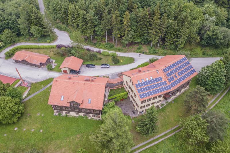
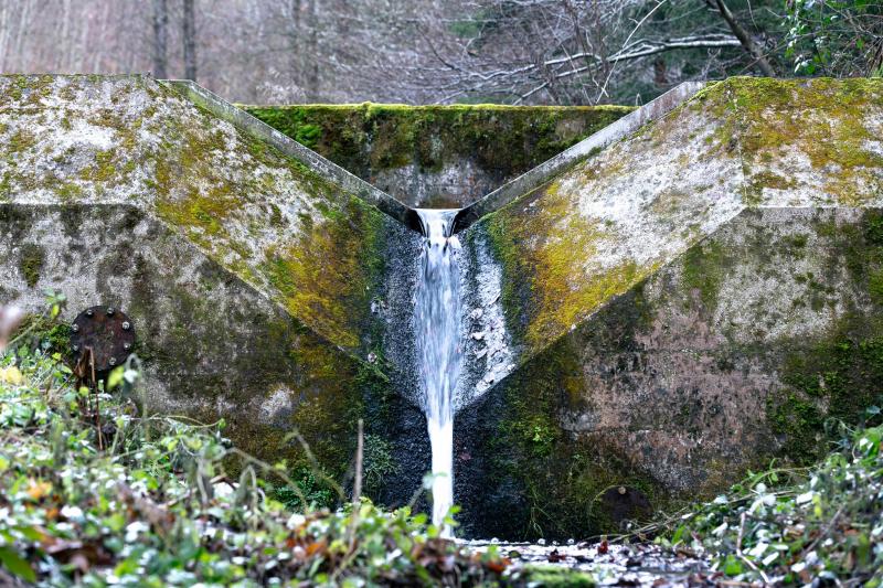
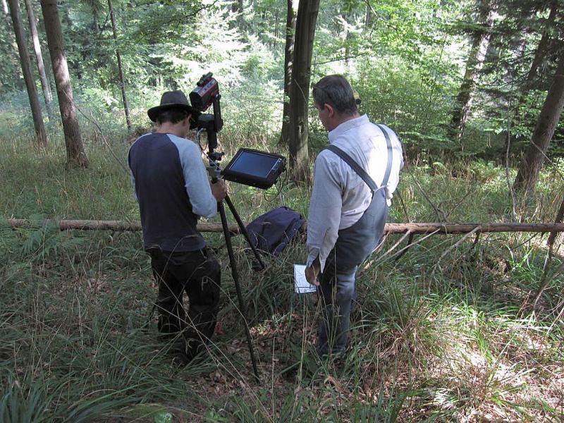
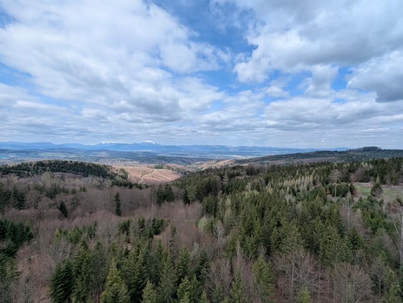
Download

Site information [.json]

Centroid/representative coordinates [.shp] [.kml]
Bounding Box [.shp] [.kml]
Boundaries [.shp] [.kml]