Hydrological research site "Britz" - Germany
DEIMS.ID
https://deims.org/8ee82a9b-5086-4547-b5aa-4064e3314762
ProTip! Use the DEIMS.ID to reference sites in papers, reports or anywhere else.
Basic Information
Site Name
Hydrological research site "Britz"
Short name
Britz
Country
Germany
Web Address
Operating Organisation
Site Manager
Site Description
Last modified
2025-12-15 08:36:05
![]()
General Characteristics and Status
Site Status
Operational
Year Established
1972
Observed properties
Climate
Precipitation Sum: 618 mm
Temperature Mean: 8.94 °C
Standard Reference Period: 1991 - 2020
Temperature Mean: 8.94 °C
Standard Reference Period: 1991 - 2020
Affiliation and Network Specific Information
Affiliation
LTER Europe✔This site is a verified "LTER Europe" member.
LTER-D (Germany)✔This site is a verified "LTER-D (Germany)" member.
Projects
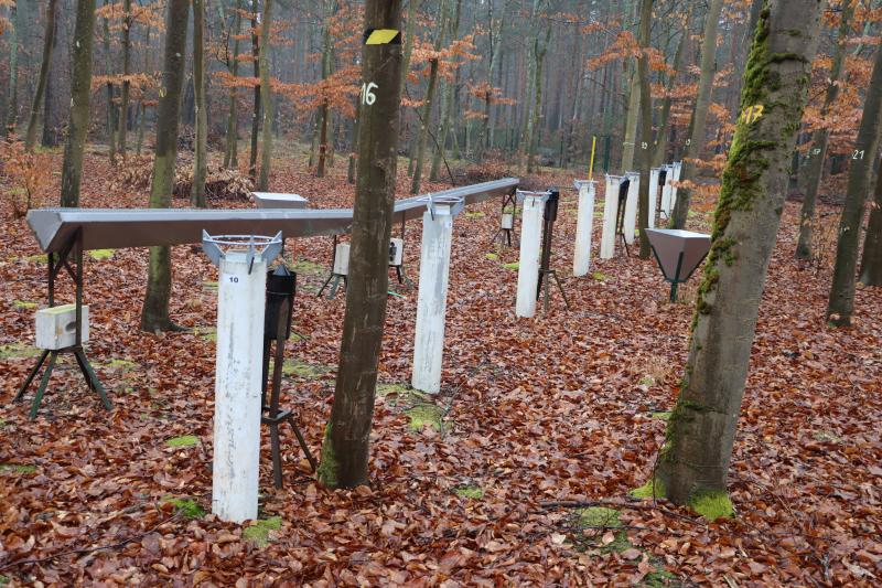
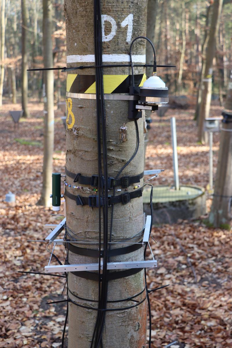
Photos


Geographic
Centroid/Representative Coordinates
Latitude: 52.878038 Longitude: 13.833911
Size
ca. 6.78ha
Elevation (average)
42.00msl
Elevation (min)
41.00msl
Elevation (max)
43.00msl
Download