Lago Bidighinzu - Italy
DEIMS.ID
https://deims.org/3707cf71-7e04-41e3-8afc-518b293f6c07
ProTip! Use the DEIMS.ID to reference sites in papers, reports or anywhere else.
Basic Information
Site Name
Lago Bidighinzu
Short name
IT10-001-A
Country
Italy
Web Address
Operating Organisation
Site Manager
Funding Agency
Site Description
Last modified
2025-01-07 11:14:56
![]()
General Characteristics and Status
Site Status
Partly operational
Year Established
2006
Observed properties
Affiliation and Network Specific Information
Affiliation
ILTER✔This site is a verified "ILTER" member.
LTER Europe✔This site is a verified "LTER Europe" member.
LTER Italia (Italy)✔ (LTER_EU_IT_048)This site is a verified "LTER Italia (Italy)" member.
GERI✔This site is a verified "GERI" member.
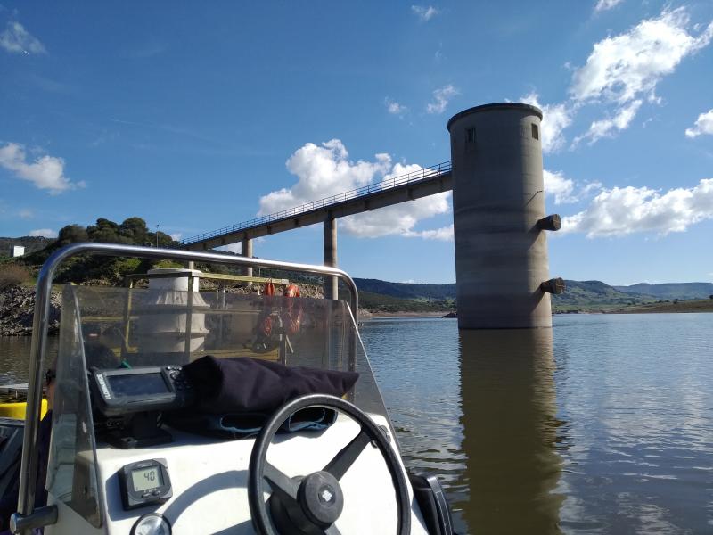
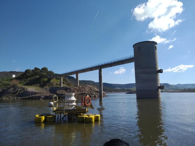
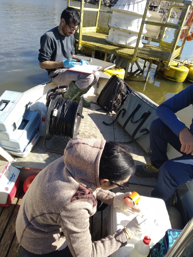
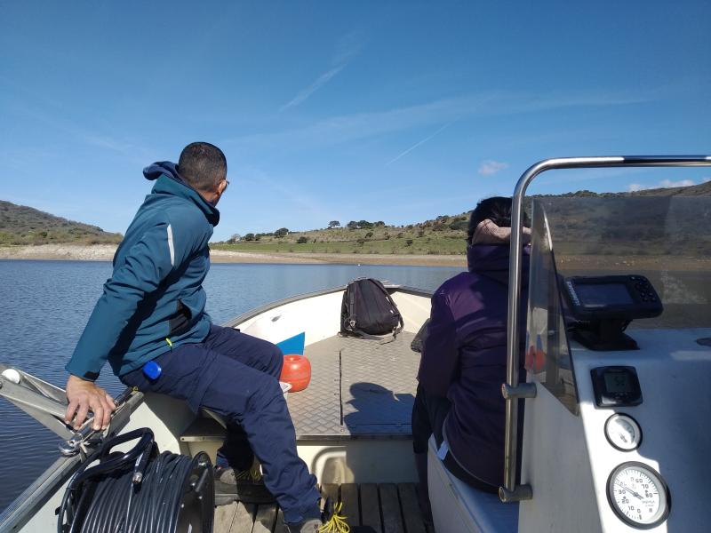
Photos


Geographic
Centroid/Representative Coordinates
Latitude: 40.551715 Longitude: 8.666364
Size
ca. 167.00ha
Elevation (average)
334.00msl
Elevation (min)
334.00msl
Elevation (max)
334.00msl
Download