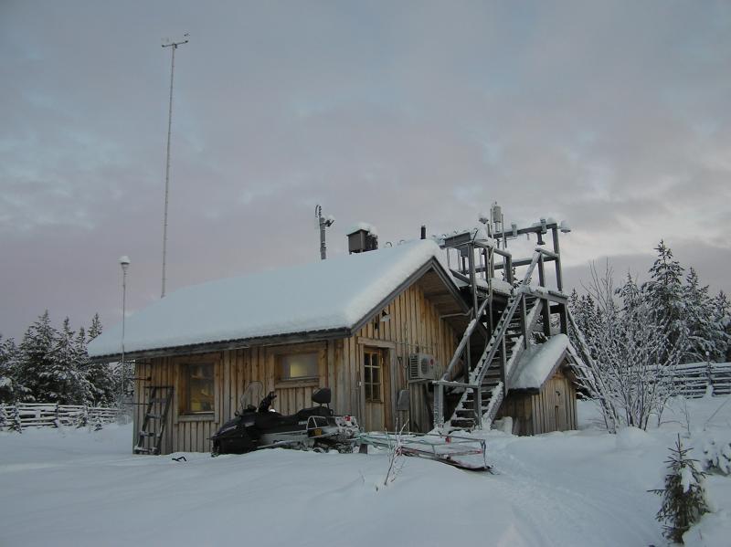
Pallas LTER observatory - Finland
DEIMS.ID
https://deims.org/b0edd1d7-4fe7-4945-a366-4e9ff21e9dd3
ProTip! Use the DEIMS.ID to reference sites in papers, reports or anywhere else.
Basic Information
Site Name
Pallas LTER observatory
Short name
Pallas LTER
Country
Finland
Site Manager
Site Description
Last modified
2025-12-15 09:51:34
![]()
General Characteristics and Status
Site Status
Operational
Year Established
1994
Affiliation and Network Specific Information
Affiliation
Arctic Monitoring and Assessment Programme (AMAP)✖The affiliation of this site with "Arctic Monitoring and Assessment Programme (AMAP)" is not verified by the network on DEIMS-SDR.
ILTER✔This site is a verified "ILTER" member.
WMO Global Atmosphere Watch (GAW)✖The affiliation of this site with "WMO Global Atmosphere Watch (GAW)" is not verified by the network on DEIMS-SDR.
LTER Europe✔This site is a verified "LTER Europe" member.
ICP Forests✖ (15_3)The affiliation of this site with "ICP Forests" is not verified by the network on DEIMS-SDR.
ICOS✔ (http://meta.icos-cp.eu/resources/stations/AS_PAL) (http://meta.icos-cp.eu/resources/stations/ES_FI-Ken)This site is a verified "ICOS" member.
European Monitoring and Evaluation Programme (EMEP)✔This site is a verified "European Monitoring and Evaluation Programme (EMEP)" member.
LTER Finland✔ (LTER_EU_FI_019)This site is a verified "LTER Finland" member.
GERI✔This site is a verified "GERI" member.
Projects
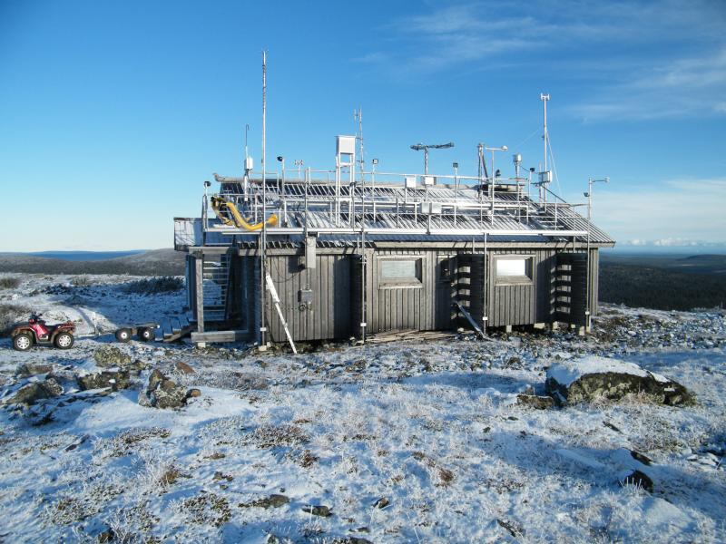
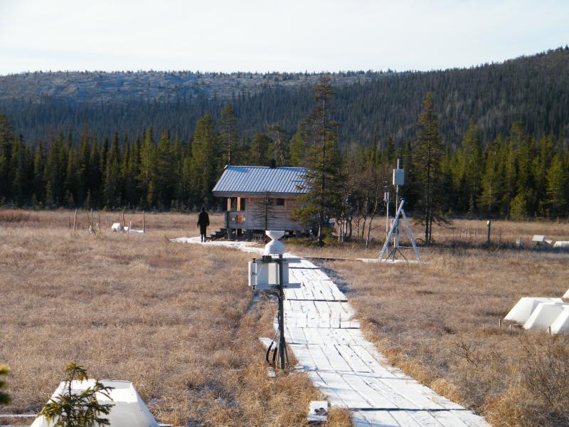
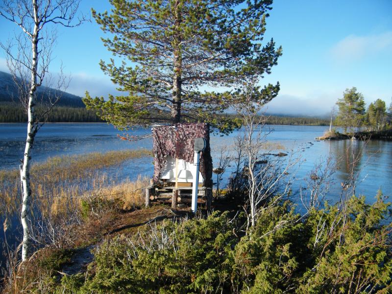
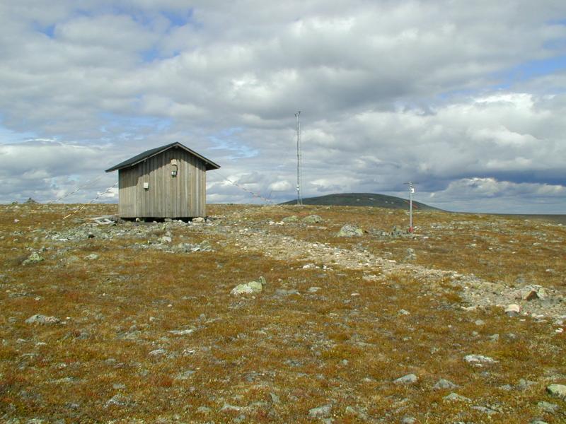
Photos

Geographic
Centroid/Representative Coordinates
Latitude: 67.99725 Longitude: 24.2091
Size
ca. 4845.10ha
Elevation (average)
269.00msl
Elevation (min)
179.00msl
Elevation (max)
765.00msl
Download