Cairngorms National Park LTSER - United Kingdom

Basic Information
Platform Icon

Site Name
Cairngorms National Park LTSER
Short name
Cairngorms LTSER
Country
United Kingdom
Site Manager
Site Description
The Cairngorms National Park is one of 15 National Parks in the UK (one of two in Scotland) and is Britain's largest National Park (4,528 km2). It is the location for some of the most spectacular landscapes in Britain and is home to an incredible diversity of wildlife and plants. http://cairngorms.co.uk/the-park/facts-figures/ The aims of the National Park are: • To conserve and enhance the natural and cultural heritage of the area; • To promote sustainable use of the natural resources of the area; • To promote understanding and enjoyment (including enjoyment in the form of recreation) of the special qualities of the area by the public; • To promote sustainable economic and social development of the area’s communities. Cairngorms National Park, seven broad habitats can be identified: • Enclosed farmlands • Woodlands • Open waters (rivers, lochs, wetlands and floodplains) • Mountains • Moorland • Semi-natural grasslands • Urban • Population of c17,500 • 25.8% of population over 60 (higher than Scottish average) • Average health index in top 25% of Scotland (based on deprivation indices) • Extensive core paths network • 55 Munros including 5 summits over 4000 feet • 3 ski centres • National Cycle Network Route 7 • 1 Long Distance Route (Speyside Way) • Relatively low atmospheric pollution • Annual precipitation over 2250mm on summits and under 900mm in straths • Average annual snow cover 200 days on summits and 50 days on low-ground • Prevailing winds from south-west
Last modified
2025-01-07 11:01:07

CC-BY-NC Logo

General Characteristics and Status
Site Status
Operational
Year Established
2013
Observed properties
Affiliation and Network Specific Information
Affiliation
ILTERThis site is a verified "ILTER" member.
Global Observation Research Initiative in Alpine Environments (GLORIA)The affiliation of this site with "Global Observation Research Initiative in Alpine Environments (GLORIA)" is not verified by the network on DEIMS-SDR.
LTER EuropeThis site is a verified "LTER Europe" member.
SCANNETThe affiliation of this site with "SCANNET" is not verified by the network on DEIMS-SDR.
UK ECN (LTER_EU_UK_059)This site is a verified "UK ECN" member.
GERIThis site is a verified "GERI" member.
EUROPARCThe affiliation of this site with "EUROPARC" is not verified by the network on DEIMS-SDR.
Critical Zone Collaborative Network (CZ Net)The affiliation of this site with "Critical Zone Collaborative Network (CZ Net)" is not verified by the network on DEIMS-SDR.
Photos
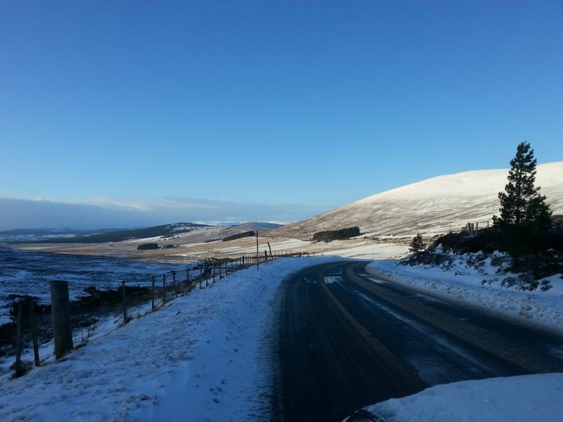
A winter scene in Cairngorms National Park
Winter recreation in Cairngorms National Park
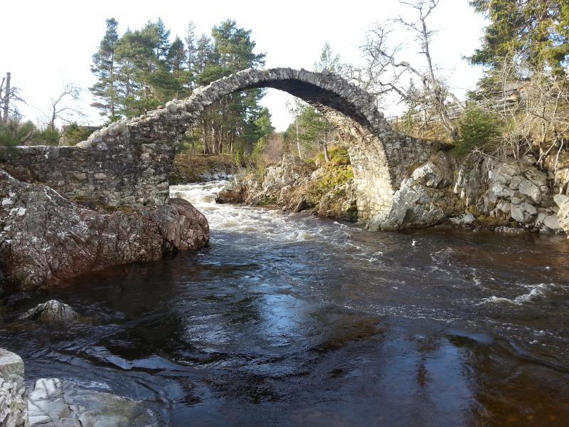
Carrbridge Packhorse Bridge, Cairngorms National Park LTSER
Geographic
Centroid/Representative Coordinates

Latitude: 57.0833 Longitude: -3.6667

Size
ca. 452800.00ha
Elevation (average)
800.00msl
Elevation (min)
200.00msl
Elevation (max)
1309.00msl
Download
Site information [.json]

Centroid/representative coordinates [.shp] [.kml]
Bounding Box [.shp] [.kml]
Boundaries [.shp] [.kml]