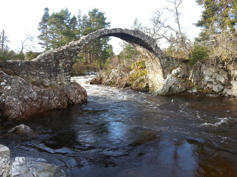
Cairngorms National Park LTSER - United Kingdom
Basic Information
Site Name
Cairngorms National Park LTSER
Short name
Cairngorms LTSER
Country
United Kingdom
Web Address
Site Manager
Site Description
Last modified
2025-01-07 11:01:07
General Characteristics and Status
Site Status
Operational
Year Established
2013
Observed properties
Affiliation and Network Specific Information
Affiliation
ILTER✔This site is a verified "ILTER" member.
Global Observation Research Initiative in Alpine Environments (GLORIA)✖The affiliation of this site with "Global Observation Research Initiative in Alpine Environments (GLORIA)" is not verified by the network on DEIMS-SDR.
LTER Europe✔This site is a verified "LTER Europe" member.
SCANNET✖The affiliation of this site with "SCANNET" is not verified by the network on DEIMS-SDR.
UK ECN✔ (LTER_EU_UK_059)This site is a verified "UK ECN" member.
GERI✔This site is a verified "GERI" member.
EUROPARC✖The affiliation of this site with "EUROPARC" is not verified by the network on DEIMS-SDR.
Critical Zone Collaborative Network (CZ Net)✖The affiliation of this site with "Critical Zone Collaborative Network (CZ Net)" is not verified by the network on DEIMS-SDR.
Photos
Geographic
Centroid/Representative Coordinates
Latitude: 57.0833 Longitude: -3.6667
Size
ca. 452800.00ha
Elevation (average)
800.00msl
Elevation (min)
200.00msl
Elevation (max)
1309.00msl
Download


